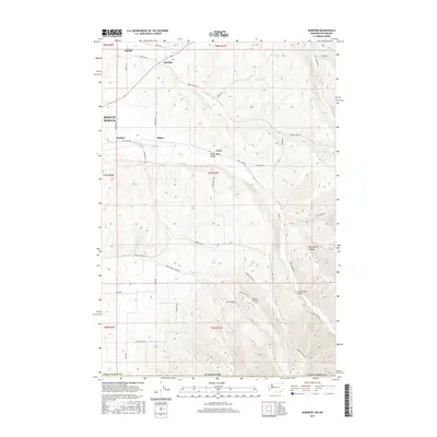
2017 Map of Buroker
USGS Topo · Published 2017About this map
The Walla Walla Valley serves as a transition between the irrigated lowlands and the rising foothills, where agriculture and topographical features define the landscape. Small rail-side or road-front settlements such as Sapolil, Buroker, and Tracy are scattered along the routes leading northeast from Walla Walla, often associated with local creek drainages. The area is heavily marked by its hydrology, including the courses of Mill Cr and Dry Cr, which carve through the terrain as it ascends toward Nightingale Canyon. Distinctive infrastructure like Wickersham Bridge and Darcy's Air Strip provide specific landmarks for those tracing the development of the county’s rural outskirts. This 2017 survey reflects the modern road network, including family-named routes like Harbert Rd and Meiners Rd, which follow the early land divisions of this agricultural region.
Find a feature on this map
54 named features on this map. Tap any name to fly to it.
Don’t see what you’re looking for? This feature index may not catch every label — zoom into the map to look around manually.
Map Details
Editions of this 2017 Buroker Map
This is the sole edition of this map. No revisions or reprints were ever made.
Other maps of this area

1919 · Walla Walla
USGS Topo · 1:125,000

1921 · Walla Walla
USGS Topo · 1:125,000

1953 · Pendleton
USGS Topo · 1:250,000

1953 · Walla Walla
USGS Topo · 1:250,000

1956 · Pendleton
USGS Topo · 1:250,000

1958 · Walla Walla
USGS Topo · 1:250,000

1963 · Big Meadows
USGS Topo · 1:24,000

1963 · Peterson Ridge
USGS Topo · 1:24,000

1964 · Bowlus Hill
USGS Topo · 1:24,000

1966 · Dixie
USGS Topo · 1:24,000