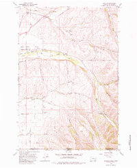
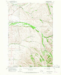
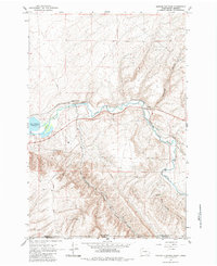
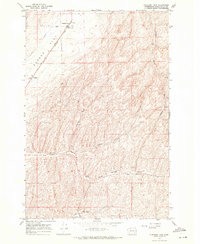
1966 Map of Buroker
USGS Topo · Published 1983About this map
Sapolil and Buroker anchor the northern reaches of this mid-1960s landscape, where the grain-driven economy of the Walla Walla Valley is evident in the Grain Elevator sites along the Northern Pacific railroad. The map documents a critical transition from the agricultural lowlands into the rising foothills of the Blue Mountains, marked by drainage systems like Mill Creek and Dry Creek. Historical land tenure is unusually prominent here, with the Titus Boundary and several Donation Land Claim Boundary lines preserved in the survey, providing a direct link to early Pacific Northwest settlement patterns.
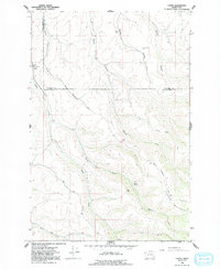
Find a feature on this map
35 named features on this map. Tap any name to fly to it.
Don’t see what you’re looking for? This feature index may not catch every label — zoom into the map to look around manually.
Map Details
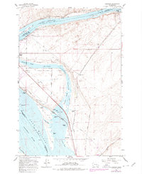
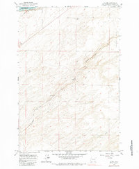
Editions of this 1966 Buroker Map
2 editions found
Historical Maps of Walla Walla Through Time
50 maps found

1915 Wallulah
Walla Walla County, WA
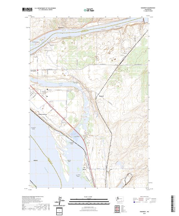
1964 Humorist
Walla Walla County, WA
1964 Slater
Walla Walla County, WA
1964 Zangar Junction
Walla Walla County, WA
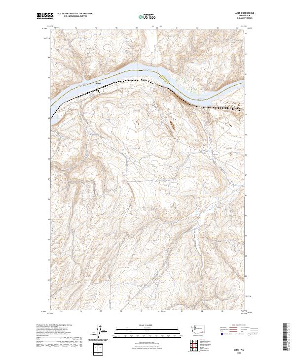
1966 Buroker
Walla Walla County, WA
1966 Coppei
Walla Walla County, WA

1966 Elwood
Walla Walla County, WA

1966 Eureka
Walla Walla County, WA

1966 Hadley
Walla Walla County, WA

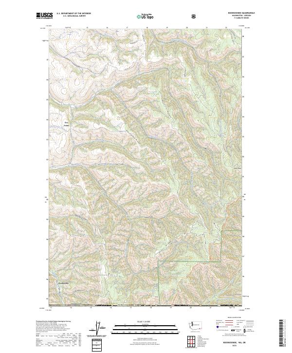
1966 Kooskooskie
Walla Walla County, WA

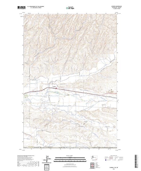
1966 Lowden
Walla Walla County, WA

1966 Page
Walla Walla County, WA

1966 Rulo
Walla Walla County, WA

1966 Valley Grove
Walla Walla County, WA

1966 Welland
Walla Walla County, WA
1967 Clyde
Walla Walla County, WA
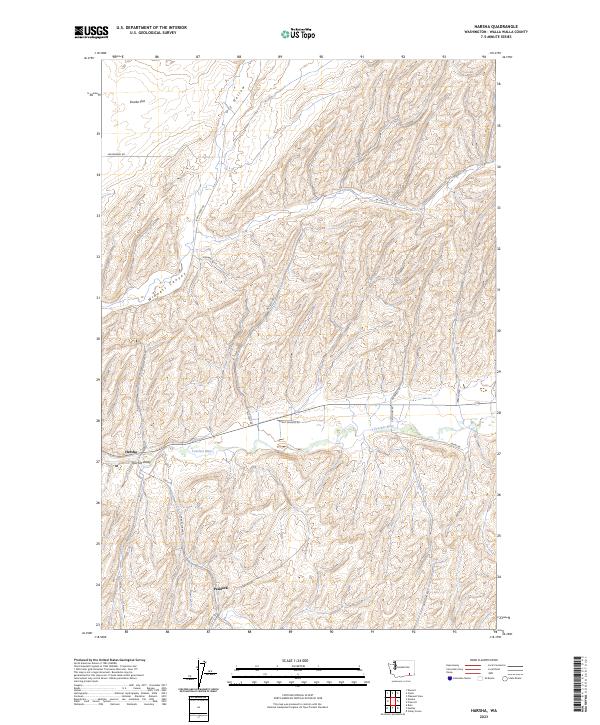
1967 Harsha
Walla Walla County, WA
1967 Pleasant View
Walla Walla County, WA

1981 Ayer
Walla Walla County, WA

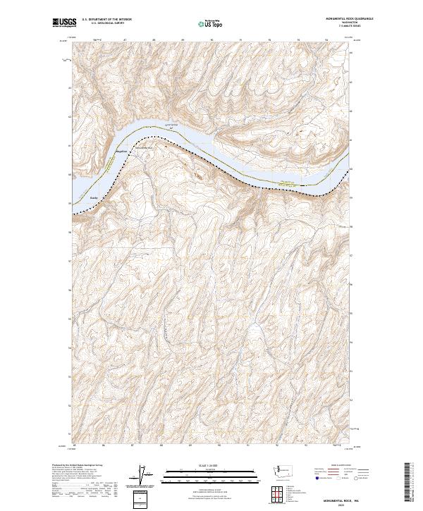
1981 Monumental Rock
Walla Walla County, WA

1991 Elwood
Walla Walla County, WA

1991 Eureka
Walla Walla County, WA

1991 Hadley
Walla Walla County, WA

1991 Lowden
Walla Walla County, WA

1991 Page
Walla Walla County, WA

1991 Rulo
Walla Walla County, WA

1991 Slater
Walla Walla County, WA

1991 Zangar Junction
Walla Walla County, WA

1992 Humorist
Walla Walla County, WA

1992 Welland
Walla Walla County, WA

1995 Kooskooskie
Walla Walla County, WA
2023 Ayer
Walla Walla County, WA
2023 Buroker
Walla Walla County, WA
2023 Clyde
Walla Walla County, WA
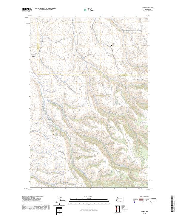
2023 Coppei
Walla Walla County, WA
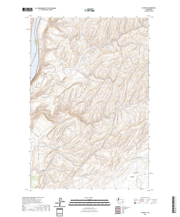
2023 Elwood
Walla Walla County, WA
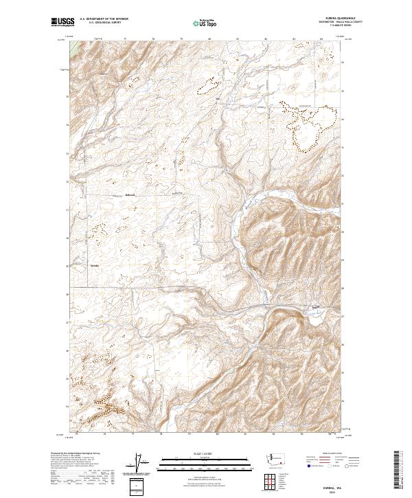
2023 Eureka
Walla Walla County, WA

2023 Hadley
Walla Walla County, WA
2023 Harsha
Walla Walla County, WA
2023 Humorist
Walla Walla County, WA
2023 Kooskooskie
Walla Walla County, WA
2023 Lowden
Walla Walla County, WA
2023 Monumental Rock
Walla Walla County, WA
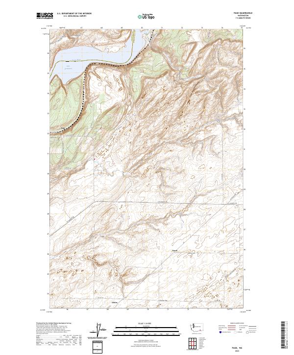
2023 Page
Walla Walla County, WA
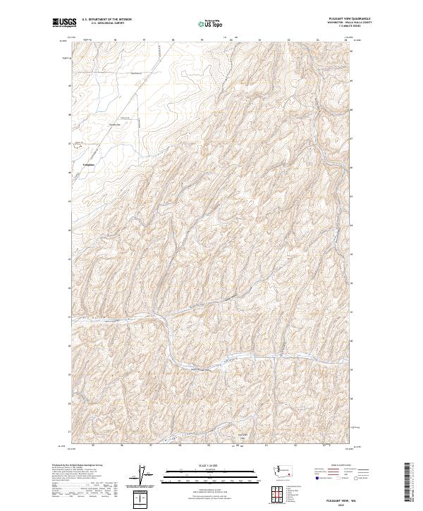
2023 Pleasant View
Walla Walla County, WA
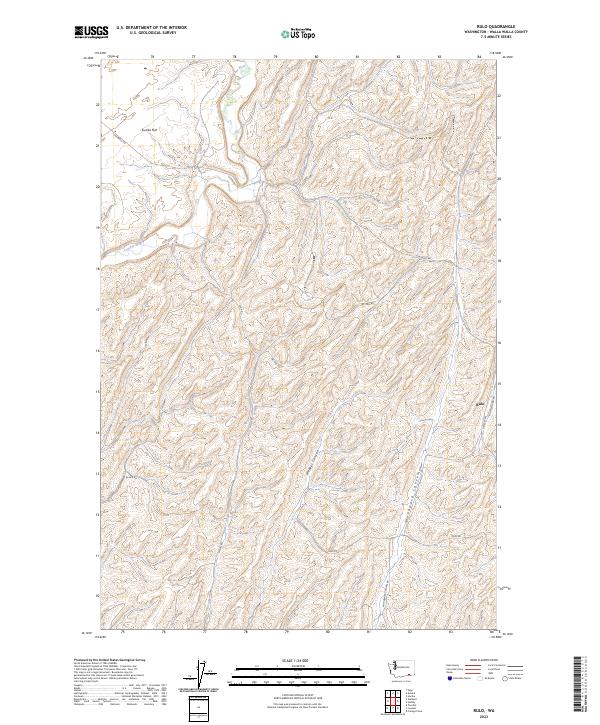
2023 Rulo
Walla Walla County, WA
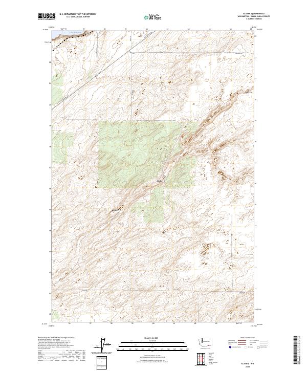
2023 Slater
Walla Walla County, WA
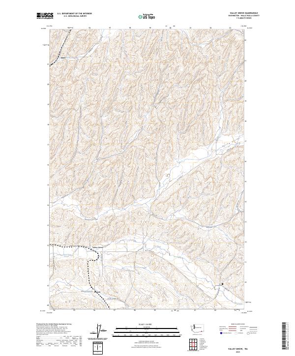
2023 Valley Grove
Walla Walla County, WA
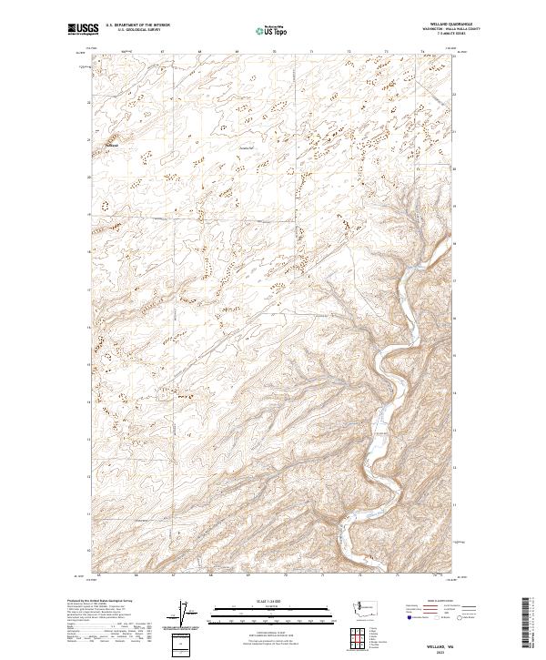
2023 Welland
Walla Walla County, WA

2023 Zangar Junction
Walla Walla County, WA