1970 Map of Burr Canyon
USGS Topo · Published 1972About this map
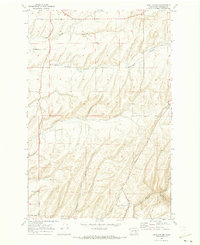
Burr Canyon and the surrounding plateau of Franklin County are defined by a complex network of coulees and rural ranch roads in this 1970 study. The landscape is characterized by the deep incisions of Maid Coulee and Dunnigan Coulee, which cut through the high ground north of the Snake River. This area was a critical wheat-growing region, as evidenced by the strategic placement of Storage Bins near Mc Callum Road and the extensive network of farm-to-market routes.
Find a feature on this map
18 named features on this map. Tap any name to fly to it.
Don’t see what you’re looking for? This feature index may not catch every label — zoom into the map to look around manually.
Map Details
Editions of this 1970 Burr Canyon Map
This is the sole edition of this map. No revisions or reprints were ever made.
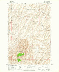
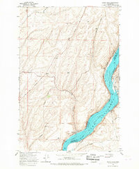
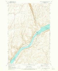
Other maps of this area

1915 · Wallulah
USGS Topo · 1:96,000

1916 · Connell
USGS Topo · 1:125,000

1918 · Connell
USGS Topo · 1:125,000

1918 · Wallula
USGS Topo · 1:125,000

1953 · Walla Walla
USGS Topo · 1:250,000

1958 · Walla Walla
USGS Topo · 1:250,000
1964 · Levey NE
USGS Topo · 1:24,000
1966 · Snake River
USGS Topo · 1:24,000

1966 · Elwood
USGS Topo · 1:24,000
1970 · Lower Monumental Dam
USGS Topo · 1:24,000