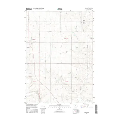
2015 Map of Burr Oak
USGS Topo · Published 2015About this map
Burr Oak and Hesper anchor this northeastern Iowa landscape, situated near the state line in a region defined by a intricate network of winding waterways. The Upper Iowa River flows through the southwestern corner, while Canoe Cr and Silver Cr carve through the sectioned farmland, creating a pattern of valleys and ridges. This map is particularly valuable for genealogists, as it identifies several family-named and community burial sites, including the Wilson Cem, Salveson Cem, and Hauge Cem. The settlement at Hesper is centered around its namesake Hesper Cem and Hesper Lutheran Cem, reflecting the area's rural heritage. Rural life is further mapped through a grid of local roads like Silent Brook Rd and Hitching Post Rd, which connect these small townships and scattered farmsteads across the rolling topography of Winneshiek County.
Find a feature on this map
42 named features on this map. Tap any name to fly to it.
Don’t see what you’re looking for? This feature index may not catch every label — zoom into the map to look around manually.
Map Details
Editions of this 2015 Burr Oak Map
This is the sole edition of this map. No revisions or reprints were ever made.
Other maps of this area

1906 · Decorah
USGS Topo · 1:125,000

1958 · La Crosse
USGS Topo · 1:250,000

1961 · La Crosse
USGS Topo · 1:250,000

1965 · La Crosse
USGS Topo · 1:250,000

1965 · Mabel
USGS Topo · 1:24,000

1965 · Spring Grove
USGS Topo · 1:24,000

1965 · Canton
USGS Topo · 1:24,000

1975 · Decorah 1 NW
USGS Topo · 1:24,000

1975 · Decorah 2 NW
USGS Topo · 1:24,000

1975 · Decorah 1 SW
USGS Topo · 1:24,000