
1975 Map of Decorah 1 SW
USGS Topo · Published 1977About this map
The Upper Iowa River winds significantly through the heart of this landscape, its tight oxbows and meanders defining the agricultural patterns of Winneshiek County during the mid-1970s. This orthophotoquad provides an aerial perspective of the terrain just east of the regional hub, centering on the settlement of Freeport. The imagery captures a moment when the river valley's bottomlands were intensely farmed, contrasting sharply with the wooded, steep bluffs and ridges that flank the waterway. The intricate network of rural roads and farmsteads recorded here by the Geological Survey shows the development of this riverfront community before later modernization and shifts in land use changed the rural character of the valley floor.
Find a feature on this map
2 named features on this map. Tap any name to fly to it.
Don’t see what you’re looking for? This feature index may not catch every label — zoom into the map to look around manually.
Map Details
Editions of this 1975 Decorah 1 SW Map
This is the sole edition of this map. No revisions or reprints were ever made.
Other maps of this area

1906 · Decorah
USGS Topo · 1:125,000

1958 · La Crosse
USGS Topo · 1:250,000

1961 · La Crosse
USGS Topo · 1:250,000

1965 · La Crosse
USGS Topo · 1:250,000
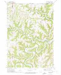
1971 · Dorchester
USGS Topo · 1:24,000
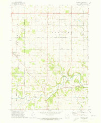
1971 · Frankville
USGS Topo · 1:24,000
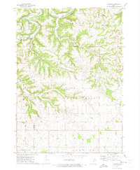
1971 · Hanover
USGS Topo · 1:24,000

1975 · Decorah 4 NW
USGS Topo · 1:24,000

1975 · Decorah 1 NW
USGS Topo · 1:24,000
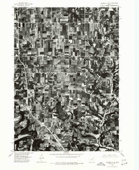
1975 · Decorah 2 NE
USGS Topo · 1:24,000