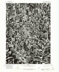
1975 Map of Decorah 2 NE
USGS Topo · Published 1977About this map
The agricultural landscape of Winneshiek County is captured in detail during the mid-1970s, revealing a grid of farmland and timbered draws characteristic of northeastern Iowa. Settlement centers at Burr Oak and Hesper serve as the primary hubs for the surrounding rural homesteads, showing the concentrated clusters of structures that defined these communities. The southern portion of the quadrangle is defined by the winding course of the Upper Iowa River, where the topography shifts from flat plateau fields to more complex riverine terrain. This orthophotoquad provides an unvarnished aerial perspective of the region’s land use, showing the exact footprint of farmsteads and the dense network of county roads before decades of modern agricultural consolidation.
Find a feature on this map
3 named features on this map. Tap any name to fly to it.
Don’t see what you’re looking for? This feature index may not catch every label — zoom into the map to look around manually.
Map Details
Editions of this 1975 Decorah 2 NE Map
This is the sole edition of this map. No revisions or reprints were ever made.
Other maps of this area

1906 · Decorah
USGS Topo · 1:125,000

1958 · La Crosse
USGS Topo · 1:250,000

1961 · La Crosse
USGS Topo · 1:250,000

1965 · La Crosse
USGS Topo · 1:250,000

1965 · Mabel
USGS Topo · 1:24,000

1965 · Spring Grove
USGS Topo · 1:24,000

1965 · Canton
USGS Topo · 1:24,000

1975 · Decorah 1 NW
USGS Topo · 1:24,000

1975 · Decorah 2 NW
USGS Topo · 1:24,000

1975 · Decorah 1 SW
USGS Topo · 1:24,000