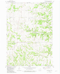
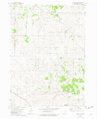
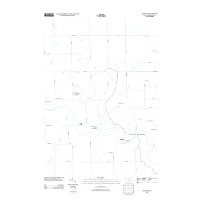
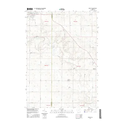
1975 Map of Decorah 4 NW
USGS Topo · Published 1977About this map
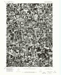
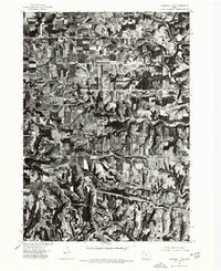
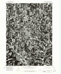
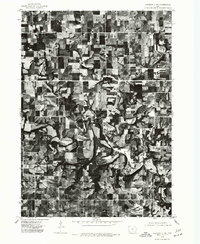
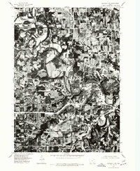
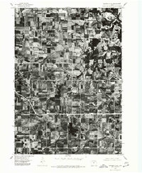
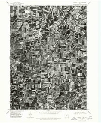
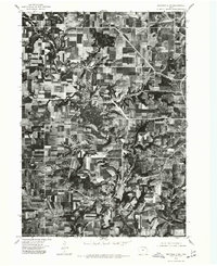
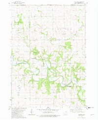
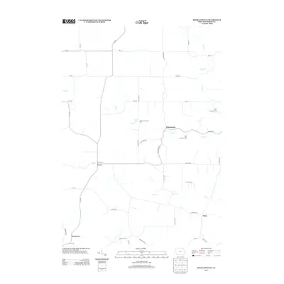
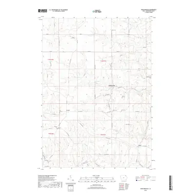
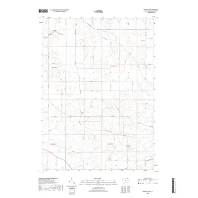
The Yellow River meanders through the southern reaches of this landscape in Winneshiek County, carving a distinct valley through the agricultural tablelands of northeastern Iowa. This 1975 orthophotograph, produced by the U.S. Geological Survey and the Iowa Geological Survey, provides a detailed aerial perspective of the region's land use during the mid-1970s. The imagery reveals a complex patchwork of contoured fields and woodlots, reflecting the soil conservation practices and farming patterns established in the Driftless Area. Unlike traditional line-drawn maps, this photo-based study from the Department of the Interior highlights the exact footprint of farmsteads and the dense network of rural roads that connect them to the surrounding valley floor.
Find a feature on this map
1 named feature on this map. Tap any name to fly to it.
Don’t see what you’re looking for? This feature index may not catch every label — zoom into the map to look around manually.
Map Details
Editions of this 1975 Decorah 4 NW Map
This is the sole edition of this map. No revisions or reprints were ever made.
Historical Maps of Winneshiek County Through Time
45 maps found
1975 Decorah 1 NW
Winneshiek County, IA

1975 Decorah 1 SW
Winneshiek County, IA
1975 Decorah 2 NE
Winneshiek County, IA
1975 Decorah 2 NW
Winneshiek County, IA
1975 Decorah 2 SE
Winneshiek County, IA
1975 Decorah 2 SW
Winneshiek County, IA
1975 Decorah 3 NE
Winneshiek County, IA
1975 Decorah 3 NW
Winneshiek County, IA
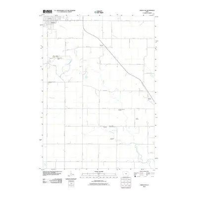
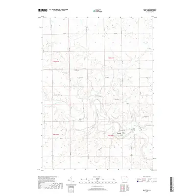
1975 Decorah 4 NW
Winneshiek County, IA
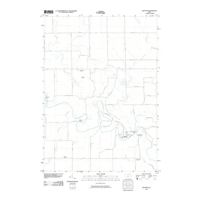
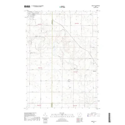
1981 Bluffton
Winneshiek County, IA
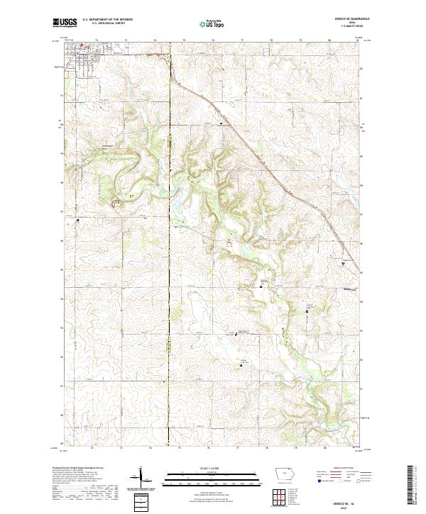
1981 Cresco NE
Winneshiek County, IA
1981 Cresco SE
Winneshiek County, IA
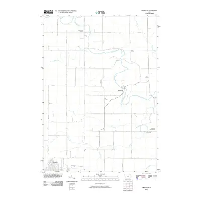
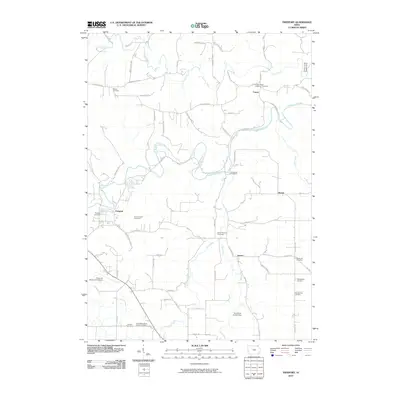
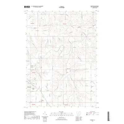
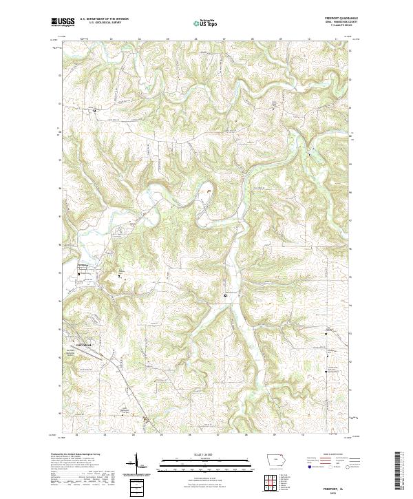
1981 Freeport
Winneshiek County, IA
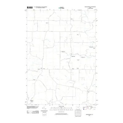
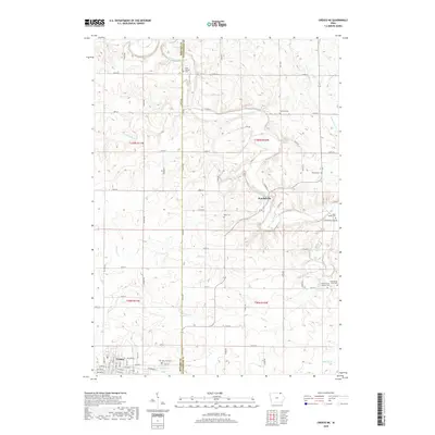
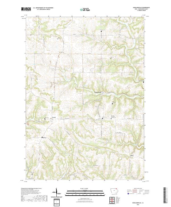
1981 Highlandville
Winneshiek County, IA
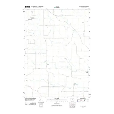
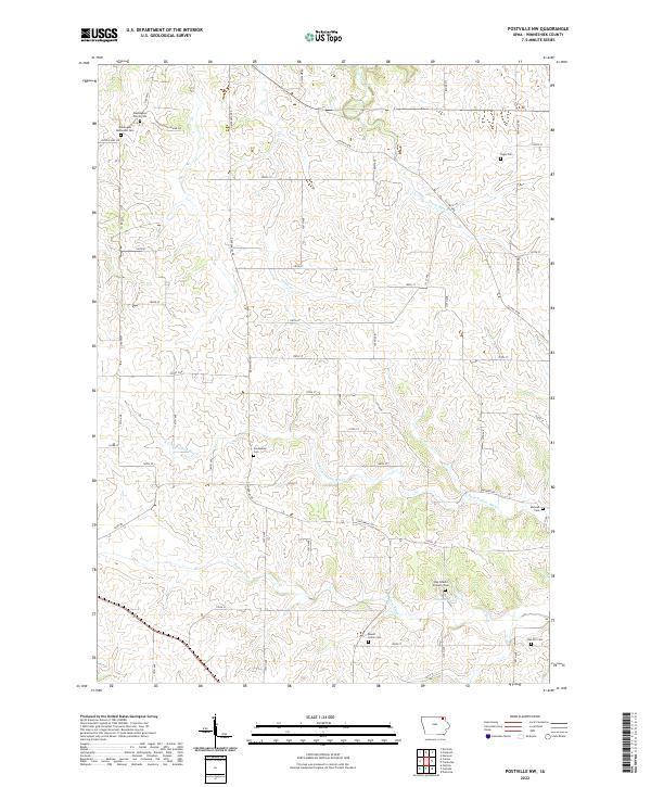
1981 Postville NW
Winneshiek County, IA
2010 Bluffton
Winneshiek County, IA
2010 Cresco NE
Winneshiek County, IA
2010 Cresco SE
Winneshiek County, IA
2010 Freeport
Winneshiek County, IA
2010 Highlandville
Winneshiek County, IA
2010 Postville NW
Winneshiek County, IA
2013 Bluffton
Winneshiek County, IA
2013 Cresco NE
Winneshiek County, IA
2013 Cresco SE
Winneshiek County, IA
2013 Freeport
Winneshiek County, IA
2013 Highlandville
Winneshiek County, IA
2013 Postville NW
Winneshiek County, IA
2015 Bluffton
Winneshiek County, IA
2015 Cresco NE
Winneshiek County, IA
2015 Cresco SE
Winneshiek County, IA
2015 Freeport
Winneshiek County, IA
2015 Highlandville
Winneshiek County, IA
2015 Postville NW
Winneshiek County, IA
2018 Bluffton
Winneshiek County, IA
2018 Cresco NE
Winneshiek County, IA
2018 Cresco SE
Winneshiek County, IA
2018 Freeport
Winneshiek County, IA
2018 Highlandville
Winneshiek County, IA
2018 Postville NW
Winneshiek County, IA
2022 Bluffton
Winneshiek County, IA
2022 Cresco NE
Winneshiek County, IA
2022 Cresco SE
Winneshiek County, IA
2022 Freeport
Winneshiek County, IA
2022 Highlandville
Winneshiek County, IA
2022 Postville NW
Winneshiek County, IA