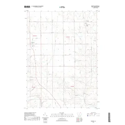
2018 Map of Burr Oak
USGS Topo · Published 2018About this map
Burr Oak and Hesper anchor this northern Winneshiek County landscape, which is defined by a dense network of tributaries feeding into the Upper Iowa River. The area shows a significant concentration of early community landmarks, particularly clustered around the northern settlement of Hesper, where the Hesper Cem, Lutheran Cem, and Hesper Lutheran Cem all lie within close proximity. These sites, along with Salveson Cem to the east and Wilson Cem further south, indicate a long-established rural population rooted in the township's agricultural plateaus.
Find a feature on this map
88 named features on this map. Tap any name to fly to it.
Don’t see what you’re looking for? This feature index may not catch every label — zoom into the map to look around manually.
Map Details
Editions of this 2018 Burr Oak Map
This is the sole edition of this map. No revisions or reprints were ever made.
Other maps of this area

1906 · Decorah
USGS Topo · 1:125,000

1958 · La Crosse
USGS Topo · 1:250,000

1961 · La Crosse
USGS Topo · 1:250,000

1965 · La Crosse
USGS Topo · 1:250,000

1965 · Mabel
USGS Topo · 1:24,000

1965 · Spring Grove
USGS Topo · 1:24,000

1965 · Canton
USGS Topo · 1:24,000

1975 · Decorah 1 NW
USGS Topo · 1:24,000

1975 · Decorah 2 NW
USGS Topo · 1:24,000

1975 · Decorah 1 SW
USGS Topo · 1:24,000