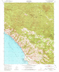
1949 Map of Burro Mountain
USGS Topo · Published 1980About this map
Santa Lucia Range peaks dominate this coastal survey of the Central Coast, where the high ridges of the Los Padres National Forest meet the Pacific Ocean. The landscape is defined by its administrative and topographical boundaries, featuring the western edge of the Hunter Liggett Military Reservation and the transition from Monterey County into San Luis Obispo County. Along the steep coastline, the map identifies specific maritime landmarks such as Ragged Point and Salmon Cone, while the interior is marked by elevations like Burro Mountain and Silver Peak. Human activity is concentrated around service and industry sites, including the Salmon Creek Ranger Sta and the Polar Star Mine (Abandoned) located near San Carpoforo Creek. This 1949 field check preserves the location of isolated features like a Lookout Tower on Three Peaks and the School Spr near the southern boundary.
Find a feature on this map
36 named features on this map. Tap any name to fly to it.
Don’t see what you’re looking for? This feature index may not catch every label — zoom into the map to look around manually.
Map Details
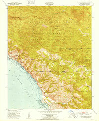
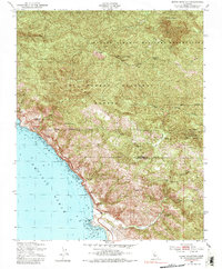
Editions of this 1949 Burro Mountain Map
3 editions found
Other maps of this area

1919 · Bryson
USGS Topo · 1:62,500

1919 · Piedras Blancas
USGS Topo · 1:62,500

1919 · San Simeon
USGS Topo · 1:62,500

1921 · Cape San Martin
USGS Topo · 1:62,500

1927 · Piedras Blancas
USGS Topo · 1:62,500

1937 · San Simeon
USGS Topo · 1:62,500

1941 · Cape San Martin
USGS Topo · 1:62,500

1941 · Bryson
USGS Topo · 1:62,500

1942 · Bryson
USGS Topo · 1:62,500

1942 · Cape San Martin
USGS Topo · 1:62,500