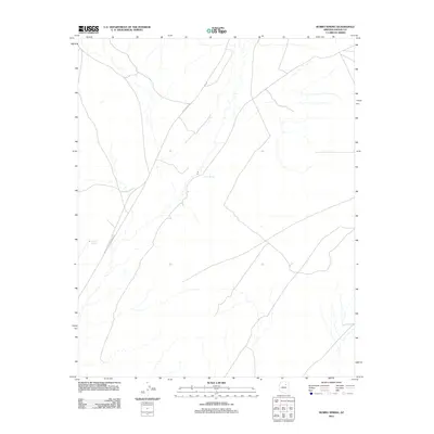
2011 Map of Burro Spring
USGS Topo · Published 2011About this map
Burro Spring and Shonto Spring serve as vital water sources in this high-desert region of Navajo County, reflecting the sparse but critical network of natural resources in the early 21st century. The map is defined by the Leupp-Oraibi Rd, a primary transit artery that cuts diagonally through the landscape, connecting disparate points across the plateau. The terrain is characterized by a complex system of dry washes and seasonal drainages, illustrating the hydrological patterns of the Arizona interior. This 2011 survey documents a largely undeveloped landscape where geographic features and road networks are essential for navigation and survival in an arid environment.
Find a feature on this map
3 named features on this map. Tap any name to fly to it.
Don’t see what you’re looking for? This feature index may not catch every label — zoom into the map to look around manually.
Map Details
Editions of this 2011 Burro Spring Map
This is the sole edition of this map. No revisions or reprints were ever made.
Other maps of this area

1883 · Tusayan
USGS Topo · 1:250,000

1886 · Tusayan
USGS Topo · 1:250,000

1947 · Flagstaff
USGS Topo · 1:250,000

1954 · Flagstaff
USGS Topo · 1:250,000

1958 · Flagstaff
USGS Topo · 1:250,000

1960 · Flagstaff
USGS Topo · 1:250,000

1962 · Flagstaff
USGS Topo · 1:250,000

1966 · Oraibi
USGS Topo · 1:62,500

1966 · Tovar Mesa
USGS Topo · 1:62,500
1967 · Garces Mesas SE
USGS Topo · 1:24,000