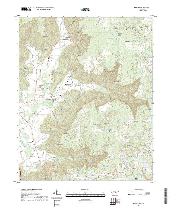
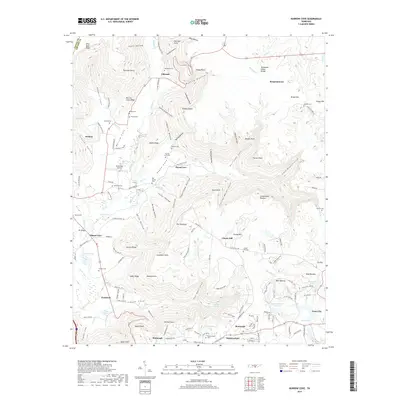
2022 Map of Burrow Cove
USGS Topo · Published 2022About this map
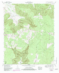
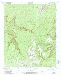
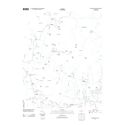
Cumberland Plateau terrain dominates this portion of the Tennessee Valley Divide, where the landscape is defined by deep coves and prominent points. Small settlements and mountain communities such as Elkhead, Payne Cove, and Summerfield are scattered throughout the region, often situated in the lower elevations of Burrow Cove and Payne Cove. The drainage of the Elk River and its tributaries, including Bostick Cr and Dry Cr, has carved significant relief into the plateau, creating features like Fletcher Point and Tanyard Point. Numerous family cemeteries, including Bethel Cem, Hamby Cem, and Roberts Cem, are preserved here, offering a vital record of local family history and ancestral land use in this rugged section of the state.
Find a feature on this map
169 named features on this map. Tap any name to fly to it.
Don’t see what you’re looking for? This feature index may not catch every label — zoom into the map to look around manually.
Map Details
Editions of this 2022 Burrow Cove Map
This is the sole edition of this map. No revisions or reprints were ever made.
Historical Maps of Tracy City Through Time
20 maps found
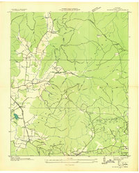
1936 Burrow Cove
Grundy County, TN
1936 Cane Hollow
Grundy County, TN
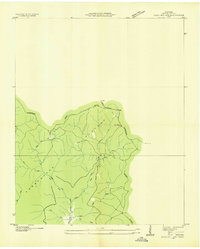
1947 Burrow Cove
Grundy County, TN
1956 Cane Hollow
Grundy County, TN
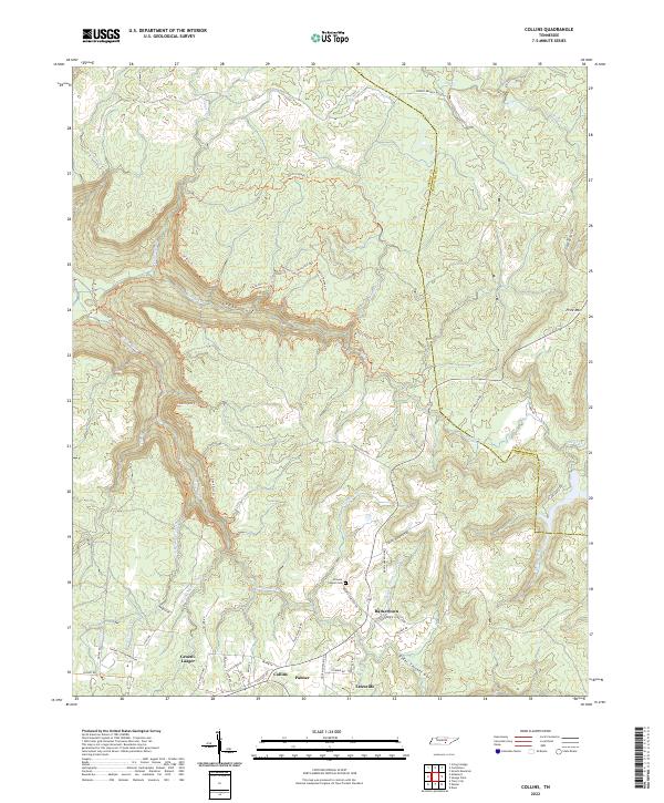
1956 Collins
Grundy County, TN
2010 Burrow Cove
Grundy County, TN
2010 Cane Hollow
Grundy County, TN
2010 Collins
Grundy County, TN
2013 Burrow Cove
Grundy County, TN
2013 Cane Hollow
Grundy County, TN
2013 Collins
Grundy County, TN
2016 Burrow Cove
Grundy County, TN
2016 Cane Hollow
Grundy County, TN
2016 Collins
Grundy County, TN
2019 Burrow Cove
Grundy County, TN
2019 Cane Hollow
Grundy County, TN
2019 Collins
Grundy County, TN
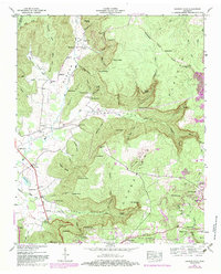
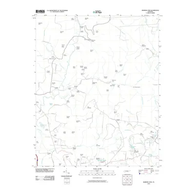
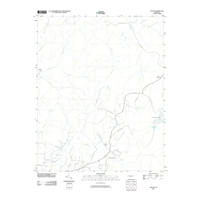
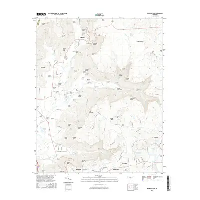
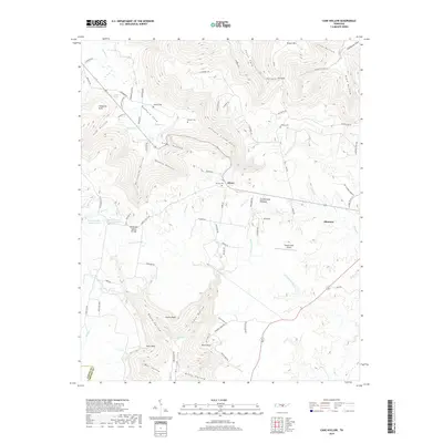
2022 Burrow Cove
Grundy County, TN
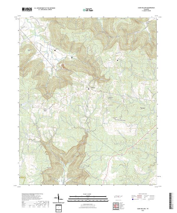
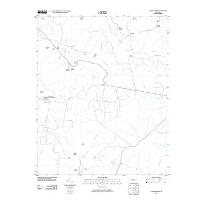
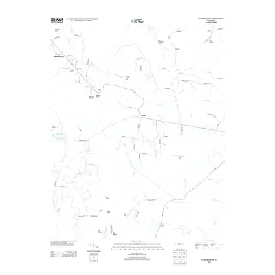
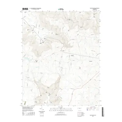
2022 Cane Hollow
Grundy County, TN
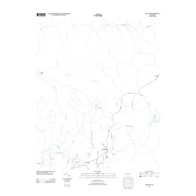
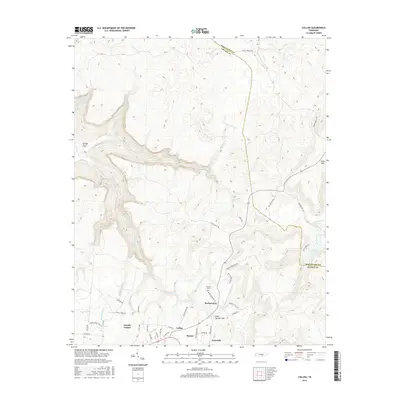
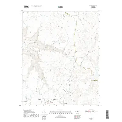
2022 Collins
Grundy County, TN