
1936 Map of Tracy City
USGS Topo · Published 1936About this map
The rugged coal and timber landscape of the Cumberland Plateau is meticulously captured in this mid-1930s survey. Industrial activity centers around the rail corridors of the Nashville Chattanooga and St Louis Railroad, which connects mountain settlements like Coalmont and Tracy City. These towns serve as hubs for smaller communities including Wheaton Hill, Dogtown, and White City, many of which were built to support the region's extraction industries. The terrain is deeply incised by the Little Sequatchie River and its numerous tributaries, while the ridge lines are defined by the Tennessee Basin Divide. Local life is anchored by institutions like the Dripping Springs Sch and Hobb Hill Ch, alongside several family cemeteries such as Bonnie Oak Cem. The presence of the Tennessee Electric Power Company Transmission Line and a prominent Lookout Tower reflect the early 20th-century modernization of this highland region.
Find a feature on this map
59 named features on this map. Tap any name to fly to it.
Don’t see what you’re looking for? This feature index may not catch every label — zoom into the map to look around manually.
Map Details
Editions of this 1936 Tracy City Map
This is the sole edition of this map. No revisions or reprints were ever made.
Other maps of this area

1895 · Sewanee
USGS Topo · 1:125,000

1936 · Palmer
USGS Topo · 1:24,000

1936 · Whitwell
USGS Topo · 1:24,000

1936 · Burrow Cove
USGS Topo · 1:24,000

1936 · Monteagle
USGS Topo · 1:24,000

1936 · White City
USGS Topo · 1:24,000

1936 · Cane Hollow
USGS Topo · 1:24,000

1943 · Mc Minnville
USGS Topo · 1:100,000
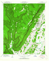
1946 · Whitwell
USGS Topo · 1:24,000
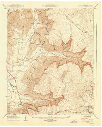
1947 · Burrow Cove
USGS Topo · 1:24,000