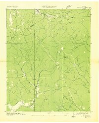
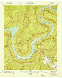
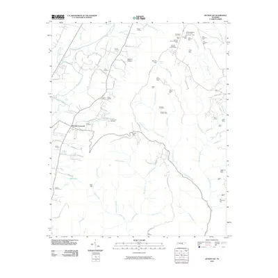
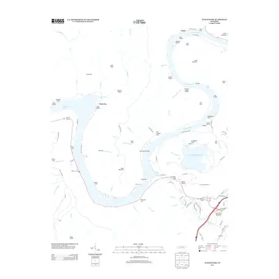
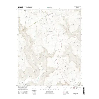
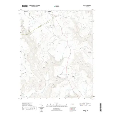
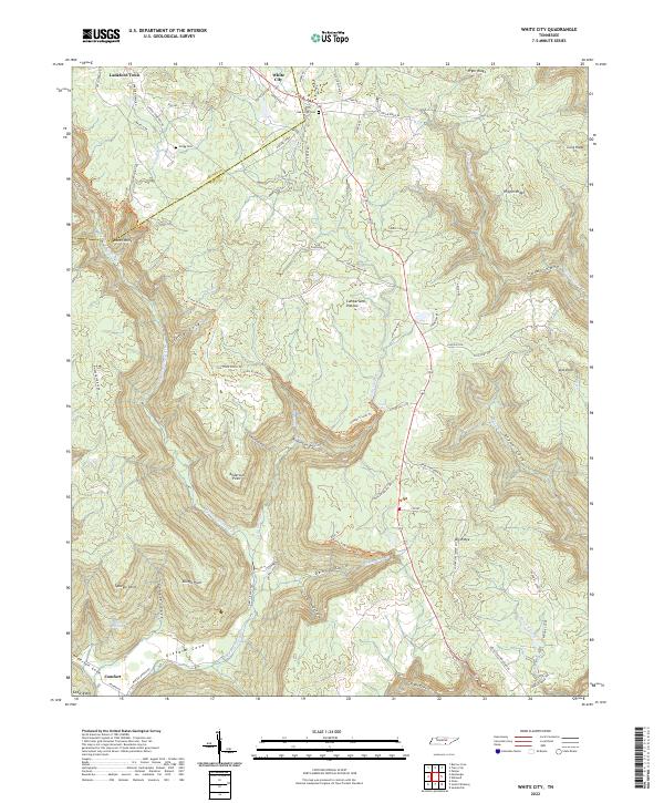
1936 Map of White City
USGS Topo · Published 1936About this map
Cumberland Plateau terrain dominates this 1936 survey, where the drainages of Big Fiery Gizzard Creek and Gizzard Creek have carved deep coves into the landscape. Small settlements like White City and Lankford Town occupy the higher ground near the Grundy and Marion County line, while remote educational outposts such as Prior Sch, Foster Falls Sch, and Pine Set Sch serve the scattered population.
Find a feature on this map
27 named features on this map. Tap any name to fly to it.
Don’t see what you’re looking for? This feature index may not catch every label — zoom into the map to look around manually.
Map Details
Editions of this 1936 White City Map
This is the sole edition of this map. No revisions or reprints were ever made.
Historical Maps of Oak Grove Through Time
25 maps found

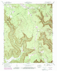
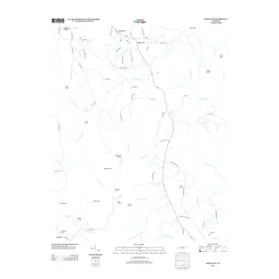
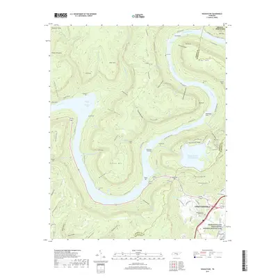
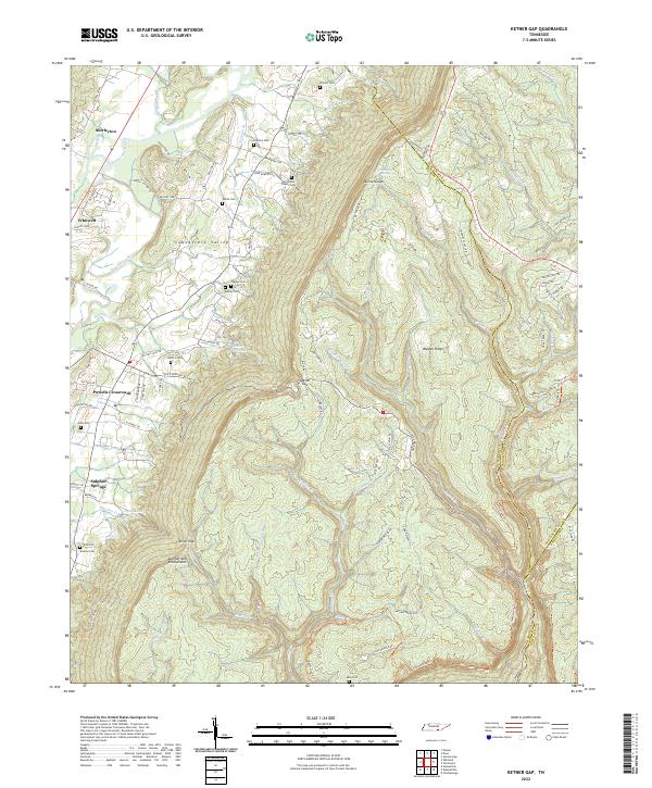
1936 Ketner Gap
Marion County, TN
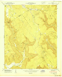
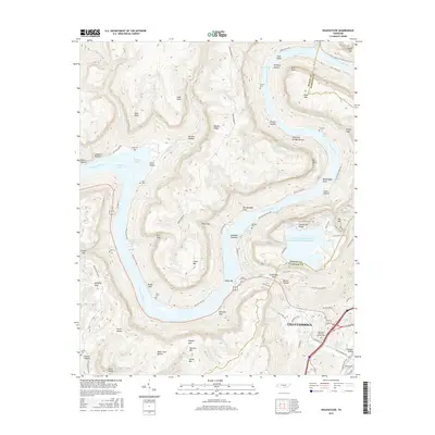
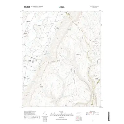
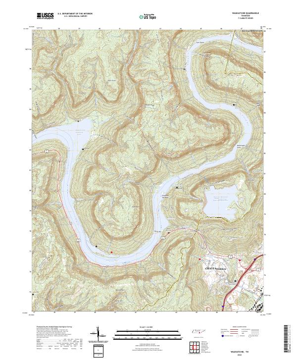
1936 Wauhatchie
Marion County, TN
1936 White City
Marion County, TN
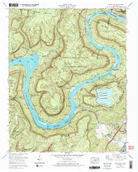
1942 Wauhatchie
Marion County, TN
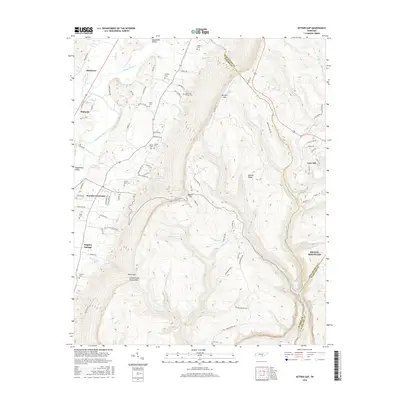
1943 Ketner Gap
Marion County, TN
1943 Wauhatchie
Marion County, TN

1946 Ketner Gap
Marion County, TN
1947 White City
Marion County, TN
1950 White City
Marion County, TN
1970 Wauhatchie
Marion County, TN
2010 Ketner Gap
Marion County, TN
2010 Wauhatchie
Marion County, TN
2010 White City
Marion County, TN
2013 Ketner Gap
Marion County, TN
2013 Wauhatchie
Marion County, TN
2013 White City
Marion County, TN
2016 Ketner Gap
Marion County, TN
2016 Wauhatchie
Marion County, TN
2016 White City
Marion County, TN
2019 Ketner Gap
Marion County, TN
2019 Wauhatchie
Marion County, TN
2019 White City
Marion County, TN
2022 Ketner Gap
Marion County, TN
2022 Wauhatchie
Marion County, TN
2022 White City
Marion County, TN