
1936 Map of Palmer
USGS Topo · Published 1936About this map
Industrial activity and rural settlement define this 1930s landscape on the Cumberland Plateau as the region's coal and timber resources were actively being tapped. The town of Palmer serves as a primary hub, situated where the Nc & St L Rr meets specialized industrial lines like the Sewanee Fuel and Iron Co and several narrow gage rail segments. These tracks snake through the terrain to reach sites like Clifty Mines, illustrating the extraction-driven economy of the era.
Find a feature on this map
47 named features on this map. Tap any name to fly to it.
Don’t see what you’re looking for? This feature index may not catch every label — zoom into the map to look around manually.
Map Details
Editions of this 1936 Palmer Map
This is the sole edition of this map. No revisions or reprints were ever made.
Other maps of this area

1888 · Chattanooga
USGS Topo · 1:125,000

1893 · Chattanooga
USGS Topo · 1:125,000

1895 · Sewanee
USGS Topo · 1:125,000

1936 · Daus
USGS Topo · 1:24,000

1936 · Whitwell
USGS Topo · 1:24,000

1936 · Tracy City
USGS Topo · 1:24,000

1936 · Ketner Gap
USGS Topo · 1:24,000

1936 · White City
USGS Topo · 1:24,000
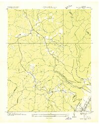
1936 · Savage Point
USGS Topo · 1:24,000
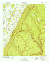
1943 · Ketner Gap
USGS Topo · 1:24,000