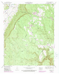
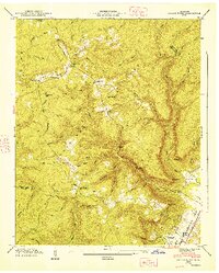
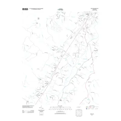
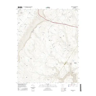
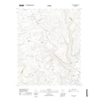
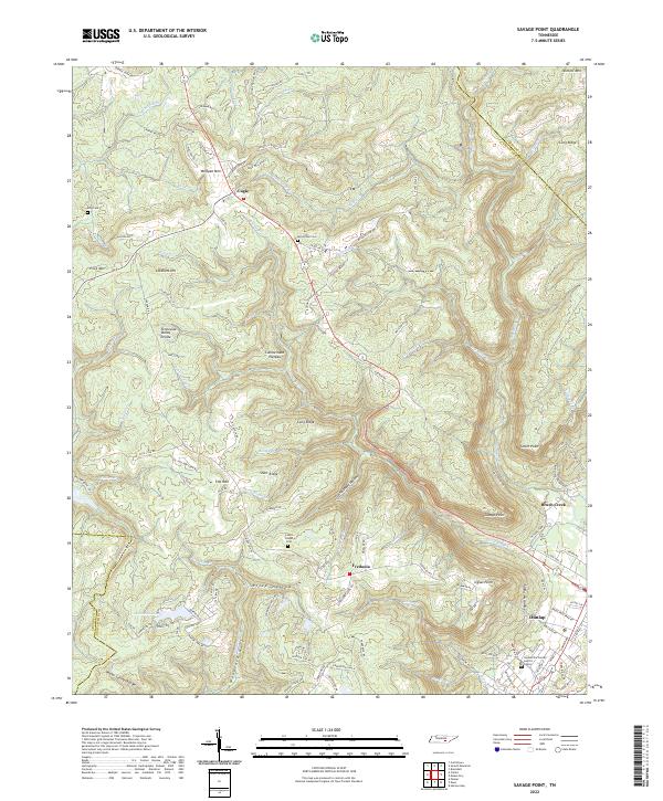
1936 Map of Savage Point
USGS Topo · Published 1936About this map
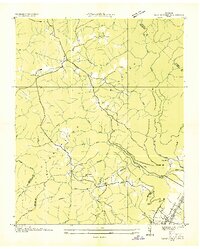
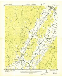
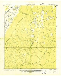
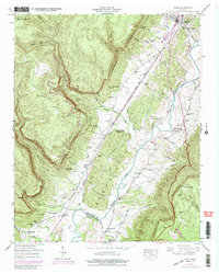
The Cumberland Plateau and the Sequatchie Valley meet in this 1930s topographic survey, revealing a landscape defined by sharp elevation changes and high-altitude settlements. The town of Dunlap anchors the southeastern corner, where the St L and O Bino Ry and the Sequatchie County Sch serve the valley population. Above the rim, the plateau is sparsely populated with small communities like Cagle and rural educational outposts such as Fredona Sch.
Find a feature on this map
49 named features on this map. Tap any name to fly to it.
Don’t see what you’re looking for? This feature index may not catch every label — zoom into the map to look around manually.
Map Details
Editions of this 1936 Savage Point Map
This is the sole edition of this map. No revisions or reprints were ever made.
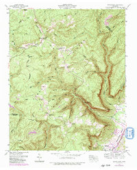
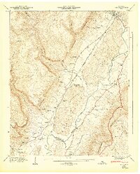
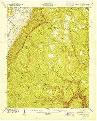
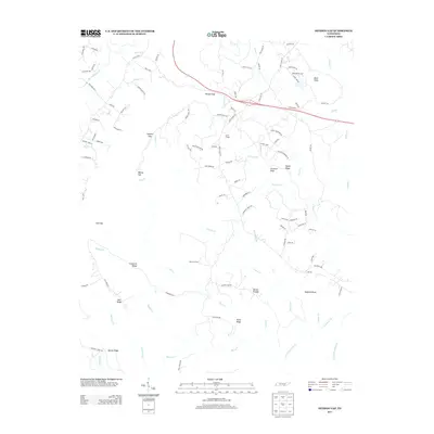
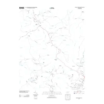
Historical Maps of Dunlap Through Time
24 maps found
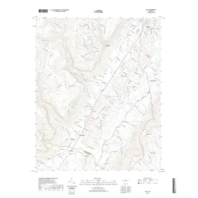
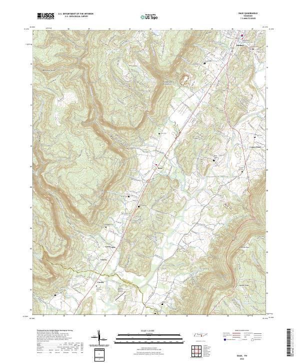
1936 Daus
Sequatchie County, TN
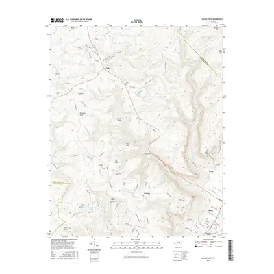
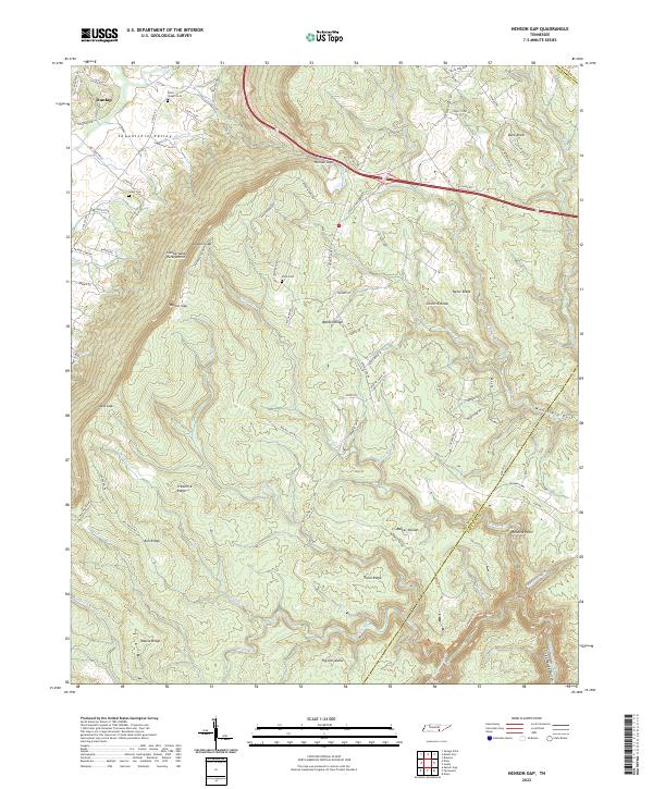
1936 Henson Gap
Sequatchie County, TN
1936 Savage Point
Sequatchie County, TN
1946 Daus
Sequatchie County, TN
1946 Henson Gap
Sequatchie County, TN
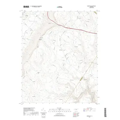
1946 Savage Point
Sequatchie County, TN
1947 Daus
Sequatchie County, TN
1947 Henson Gap
Sequatchie County, TN
1947 Savage Point
Sequatchie County, TN
2010 Daus
Sequatchie County, TN
2010 Henson Gap
Sequatchie County, TN
2010 Savage Point
Sequatchie County, TN
2013 Daus
Sequatchie County, TN
2013 Henson Gap
Sequatchie County, TN
2013 Savage Point
Sequatchie County, TN
2016 Daus
Sequatchie County, TN
2016 Henson Gap
Sequatchie County, TN
2016 Savage Point
Sequatchie County, TN
2019 Daus
Sequatchie County, TN
2019 Henson Gap
Sequatchie County, TN
2019 Savage Point
Sequatchie County, TN
2022 Daus
Sequatchie County, TN
2022 Henson Gap
Sequatchie County, TN
2022 Savage Point
Sequatchie County, TN