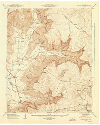
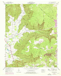
1947 Map of Burrow Cove
USGS Topo · Published 1948About this map
The Cumberland Plateau landscape in this area is defined by sharp elevation changes where the plateau drops into Burrow Cove and Payne Cove. In the late 1940s, this region of Tennessee maintained a network of small mountain communities and rural schoolhouses, including the Layne Cove Sch and Elkhead Sch. The Nashville Chattanooga and St Louis Railroad winds through the eastern side of the sheet, serving the settlements of East Ramsey and West Ramsey near the Grundy State Forest.
Find a feature on this map
85 named features on this map. Tap any name to fly to it.
Don’t see what you’re looking for? This feature index may not catch every label — zoom into the map to look around manually.
Map Details
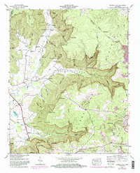
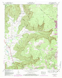
Editions of this 1947 Burrow Cove Map
7 editions found
Other maps of this area

1895 · Sewanee
USGS Topo · 1:125,000

1936 · Sewanee
USGS Topo · 1:24,000

1936 · Alto
USGS Topo · 1:24,000

1936 · Burrow Cove
USGS Topo · 1:24,000

1936 · Tracy City
USGS Topo · 1:24,000

1936 · Monteagle
USGS Topo · 1:24,000

1936 · Hillsboro
USGS Topo · 1:24,000

1936 · White City
USGS Topo · 1:24,000

1936 · Cane Hollow
USGS Topo · 1:24,000

1943 · Mc Minnville
USGS Topo · 1:100,000