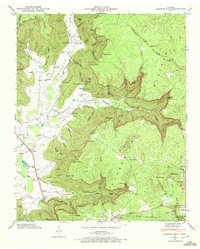
1947 Map of Burrow Cove
USGS Topo · Published 1972About this map
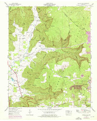
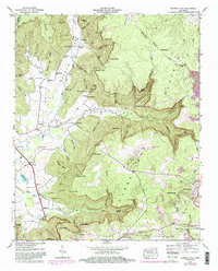
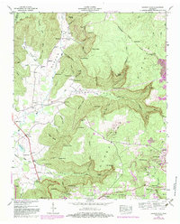
Cumberland Plateau geology defines this 1947 survey, where the Tennessee Valley Divide separates complex drainage systems. The Elk River winds through Burrow Cove, while the southeastern corner is anchored by the coal-associated landscape of Tracy City and the Grundy State Forest. This area shows a high density of rural institutions from the mid-century, including the Clouse Hill Sch, Campground Sch, and Payne Cove Sch.
Find a feature on this map
107 named features on this map. Tap any name to fly to it.
Don’t see what you’re looking for? This feature index may not catch every label — zoom into the map to look around manually.
Map Details
Editions of this 1947 Burrow Cove Map
7 editions found
Other maps of this area

1895 · Sewanee
USGS Topo · 1:125,000

1936 · Sewanee
USGS Topo · 1:24,000

1936 · Alto
USGS Topo · 1:24,000

1936 · Burrow Cove
USGS Topo · 1:24,000

1936 · Tracy City
USGS Topo · 1:24,000

1936 · Monteagle
USGS Topo · 1:24,000

1936 · Hillsboro
USGS Topo · 1:24,000

1936 · White City
USGS Topo · 1:24,000

1936 · Cane Hollow
USGS Topo · 1:24,000

1943 · Mc Minnville
USGS Topo · 1:100,000