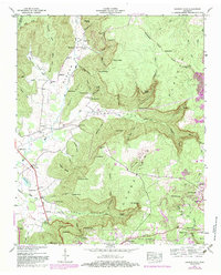
1947 Map of Burrow Cove
USGS Topo · Published 1983About this map
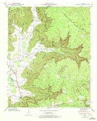
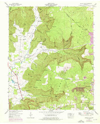
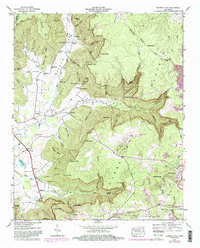
The Cumberland Plateau dominates the landscape here, where the Tennessee Valley Divide separates complex drainage systems including the headwaters of the Elk River and Big Fiery Gizzard Creek. This 1947 survey, later updated with 1980s data, captures the industrial and agricultural interface of Grundy County. Settlement is concentrated along the southern edge near Monteagle and Tracy City, while the interior is defined by deep coves like Burrow Cove and Hurricane Cove.
Find a feature on this map
96 named features on this map. Tap any name to fly to it.
Don’t see what you’re looking for? This feature index may not catch every label — zoom into the map to look around manually.
Map Details
Editions of this 1947 Burrow Cove Map
7 editions found
Other maps of this area

1895 · Sewanee
USGS Topo · 1:125,000

1936 · Sewanee
USGS Topo · 1:24,000

1936 · Alto
USGS Topo · 1:24,000

1936 · Burrow Cove
USGS Topo · 1:24,000

1936 · Tracy City
USGS Topo · 1:24,000

1936 · Monteagle
USGS Topo · 1:24,000

1936 · Hillsboro
USGS Topo · 1:24,000

1936 · White City
USGS Topo · 1:24,000

1936 · Cane Hollow
USGS Topo · 1:24,000

1943 · Mc Minnville
USGS Topo · 1:100,000