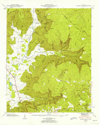
1947 Map of Burrow Cove
USGS Topo · Published 1962About this map
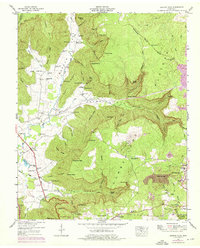
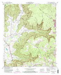
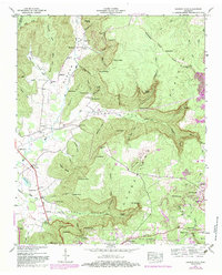
Cumberland Plateau geology defines this region of Tennessee, where the landscape drops sharply into deep drainages like Burrow Cove and Layne Cove. This 1947 survey captures a transitional moment for the local mountain economy, featuring the Nashville Chattanooga and St Louis railway as it winds toward the coal-rich vicinity of Tracy City. The map is particularly rich in family history and subterranean landmarks, documenting numerous small burial grounds such as Hamby Cem and Warren Cem, alongside famed geological features like Wonder Cave, Big Mouth Cave, and the Natural Bridge. Rural community life is anchored by one-room schoolhouses and country chapels, including Clouse Hill Sch and Bethel Ch. Settlement patterns follow the valley floors near the Elk River and Big Fiery Gizzard Creek, while the higher elevations are preserved within the Grundy State Forest.
Find a feature on this map
101 named features on this map. Tap any name to fly to it.
Don’t see what you’re looking for? This feature index may not catch every label — zoom into the map to look around manually.
Map Details
Editions of this 1947 Burrow Cove Map
7 editions found
Other maps of this area

1895 · Sewanee
USGS Topo · 1:125,000

1936 · Sewanee
USGS Topo · 1:24,000

1936 · Alto
USGS Topo · 1:24,000

1936 · Burrow Cove
USGS Topo · 1:24,000

1936 · Tracy City
USGS Topo · 1:24,000

1936 · Monteagle
USGS Topo · 1:24,000

1936 · Hillsboro
USGS Topo · 1:24,000

1936 · White City
USGS Topo · 1:24,000

1936 · Cane Hollow
USGS Topo · 1:24,000

1943 · Mc Minnville
USGS Topo · 1:100,000