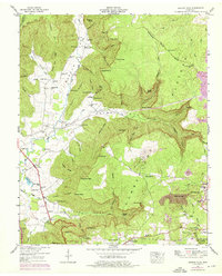
1947 Map of Burrow Cove
USGS Topo · Published 1975About this map
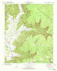
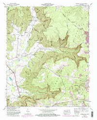
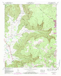
The Cumberland Plateau dominates this topographic study, where the Tennessee Valley Divide snakes across the high ground between the headwaters of the Elk River and the rugged drainages of Fiery Gizzard Creek. This 1947 field-checked survey reveals a landscape defined by deep coves and steep ridges, such as Payne Cove and Burrow Cove Ridge. The settlement pattern follows the valley floors and the rim, anchored by the community of Tracy City and outlying clusters like Bergmantown and Piedmont.
Find a feature on this map
86 named features on this map. Tap any name to fly to it.
Don’t see what you’re looking for? This feature index may not catch every label — zoom into the map to look around manually.
Map Details
Editions of this 1947 Burrow Cove Map
7 editions found
Other maps of this area

1895 · Sewanee
USGS Topo · 1:125,000

1936 · Sewanee
USGS Topo · 1:24,000

1936 · Alto
USGS Topo · 1:24,000

1936 · Burrow Cove
USGS Topo · 1:24,000

1936 · Tracy City
USGS Topo · 1:24,000

1936 · Monteagle
USGS Topo · 1:24,000

1936 · Hillsboro
USGS Topo · 1:24,000

1936 · White City
USGS Topo · 1:24,000

1936 · Cane Hollow
USGS Topo · 1:24,000

1943 · Mc Minnville
USGS Topo · 1:100,000