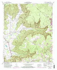
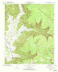
1947 Map of Burrow Cove
USGS Topo · Published 1983About this map
The Cumberland Plateau drops sharply into the deep recesses of Burrow Cove and Payne Cove in this 1947 study of the Tennessee highlands. The landscape is defined by its dramatic geology, featuring subterranean landmarks like Wonder Cave, Big Mouth Cave, and Saltpeter Cave along the base of the ridges. Near the southern edge, the industrial presence of Tracy City stands in contrast to the rural settlements of Piedmont and Summerfield, where the Seaboard rail line and the Dixie Highway provided vital transportation links for the region's early 20th-century economy.
Find a feature on this map
88 named features on this map. Tap any name to fly to it.
Don’t see what you’re looking for? This feature index may not catch every label — zoom into the map to look around manually.
Map Details
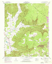
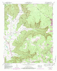
Editions of this 1947 Burrow Cove Map
7 editions found
Other maps of this area

1895 · Sewanee
USGS Topo · 1:125,000

1936 · Sewanee
USGS Topo · 1:24,000

1936 · Alto
USGS Topo · 1:24,000

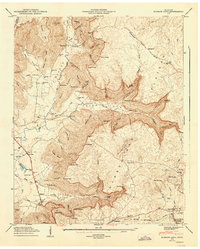
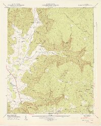
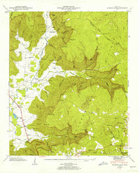
1936 · Burrow Cove
USGS Topo · 1:24,000

1936 · Tracy City
USGS Topo · 1:24,000

1936 · Monteagle
USGS Topo · 1:24,000

1936 · Hillsboro
USGS Topo · 1:24,000

1936 · White City
USGS Topo · 1:24,000

1936 · Cane Hollow
USGS Topo · 1:24,000

1943 · Mc Minnville
USGS Topo · 1:100,000