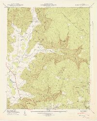
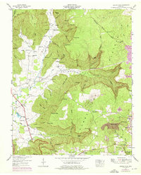
1947 Map of Burrow Cove
USGS Topo · Published 1948About this map
The Cumberland Plateau dominates this portion of Tennessee, where the Dixie Highway skirts the edge of the escarpment near the Coffee and Grundy County boundary. This landscape is defined by deep coves and narrow ridges, such as Burrow Cove and Payne Ridge, which shaped the settlement patterns of families in the late 1940s. Local life centered on numerous small schools and churches, including the Campground Sch and Bethel Ch, which served dispersed communities in the hollows.
Find a feature on this map
106 named features on this map. Tap any name to fly to it.
Don’t see what you’re looking for? This feature index may not catch every label — zoom into the map to look around manually.
Map Details
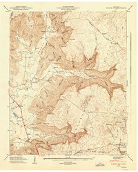
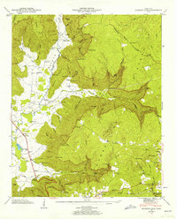
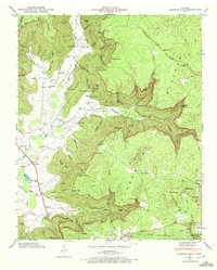
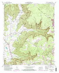
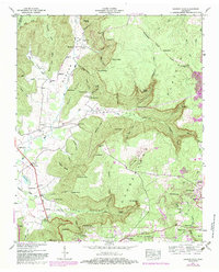
Editions of this 1947 Burrow Cove Map
7 editions found
Other maps of this area

1895 · Sewanee
USGS Topo · 1:125,000

1936 · Sewanee
USGS Topo · 1:24,000

1936 · Alto
USGS Topo · 1:24,000

1936 · Burrow Cove
USGS Topo · 1:24,000

1936 · Tracy City
USGS Topo · 1:24,000

1936 · Monteagle
USGS Topo · 1:24,000

1936 · Hillsboro
USGS Topo · 1:24,000

1936 · White City
USGS Topo · 1:24,000

1936 · Cane Hollow
USGS Topo · 1:24,000

1943 · Mc Minnville
USGS Topo · 1:100,000