
1954 Map of Burrville
USGS Topo · Published 1955About this map
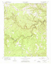
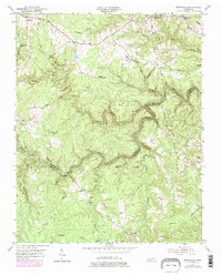
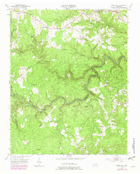
Armathwaite and Shirley anchor the northern landscape of this mid-century survey, where the jagged topography of the Cumberland Plateau dictates the pattern of human settlement. The Tennessee Valley Divide snakes across the southern reaches, marking a significant hydrologic boundary in the region. Winding through the center of the sheet, the Clear Fork river carves a deep, serpentine path, joined by numerous tributaries like Crooked Creek and Skull Cave Creek.
Find a feature on this map
45 named features on this map. Tap any name to fly to it.
Don’t see what you’re looking for? This feature index may not catch every label — zoom into the map to look around manually.
Map Details
Editions of this 1954 Burrville Map
4 editions found
Other maps of this area

1895 · Wartburg
USGS Topo · 1:125,000

1896 · Wartburg
USGS Topo · 1:125,000

1935 · Pilot Mountain
USGS Topo · 1:24,000

1936 · Twin Bridges
USGS Topo · 1:24,000

1936 · Jones Knob
USGS Topo · 1:24,000

1943 · Twin Bridges
USGS Topo · 1:24,000
1945 · Twin Bridges
USGS Topo · 1:24,000
1946 · Pilot Mountain
USGS Topo · 1:24,000
1949 · Jones Knob
USGS Topo · 1:24,000

1952 · Honey Creek
USGS Topo · 1:24,000