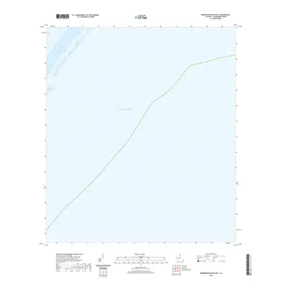
2020 Map of Burrwood Bayou East
USGS Topo · Published 2020About this map
Southwest Pass defines the slender reach of land at the very edge of the Mississippi River Delta, where the river's main channel transitions into the Gulf of Mexico. This 2020 survey of the Plaquemines Parish coastline reveals a landscape of extreme maritime vulnerability, showing the fragile boundary between the silt-built land and the open sea. Notable features include West Bay to the north and the small branching waterway of Burrwood Bayou. The presence of man-made modifications like Outlet E-1 indicates ongoing efforts to manage the sediment and flow of one of the world's most critical shipping arteries. This map is essential for understanding the contemporary geography of the bird-foot delta, an area of constant change and environmental significance.
Find a feature on this map
5 named features on this map. Tap any name to fly to it.
Don’t see what you’re looking for? This feature index may not catch every label — zoom into the map to look around manually.
Map Details
Editions of this 2020 Burrwood Bayou East Map
This is the sole edition of this map. No revisions or reprints were ever made.
Other maps of this area

1893 · East Delta
USGS Topo · 1:62,500

1893 · West Delta
USGS Topo · 1:62,500

1935 · South Pass
USGS Topo · 1:31,680

1946 · Pass Du Bois
USGS Topo · 1:31,680

1946 · Mudpan Bayou
USGS Topo · 1:31,680

1947 · Southwest Pass
USGS Topo · 1:31,680
1949 · Burrwood
USGS Topo · 1:31,680

1952 · Southwest Pass
USGS Topo · 1:62,500

1953 · West Delta
USGS Topo · 1:62,500
1954 · Pass Du Bois
USGS Topo · 1:31,680