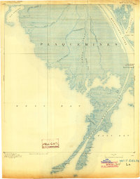
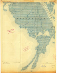
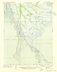
1893 Map of West Delta
USGS Topo · Published 1904About this map
South West Pass and the intricate bird-foot delta of the Mississippi River dominate this late-nineteenth-century survey of Plaquemines Parish. The map documents the critical navigational infrastructure at the mouth of the river, highlighting the maritime importance of the Custom House and Pilot Lookout situated along the narrow strips of land. Several navigational aids are precisely located, including the South West Pass Light, Old Light Tower, and the Head of Passes Light.
Find a feature on this map
25 named features on this map. Tap any name to fly to it.
Don’t see what you’re looking for? This feature index may not catch every label — zoom into the map to look around manually.
Map Details
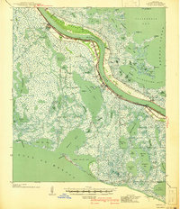
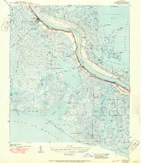
Editions of this 1893 West Delta Map
3 editions found

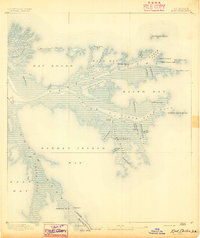
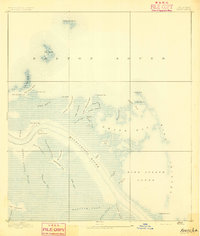
Other maps of this area

1892 · Quarantine
USGS Topo · 1:62,500
1893 · East Delta
USGS Topo · 1:62,500
1893 · Forts
USGS Topo · 1:62,500
1935 · South Pass
USGS Topo · 1:31,680
1941 · Empire
USGS Topo · 1:62,500
1944 · Empire
USGS Topo · 1:62,500

1946 · Pass Du Bois
USGS Topo · 1:31,680

1946 · Mudpan Bayou
USGS Topo · 1:31,680

1946 · Pass Tante Phine
USGS Topo · 1:31,680

1947 · Pass A Loutre West
USGS Topo · 1:31,680