
1946 Map of Mudpan Bayou
USGS Topo · Published 1946About this map
Southwest Pass defines the slender, marshy strip of land stretching into the Gulf of Mexico at the very edge of the Mississippi River delta. This advance sheet, based on 1935 field examinations and Army Air Corps photography, documents a fragile coastal environment dominated by tidal channels and brackish wetlands. The complex hydrology of the delta is visible through the winding courses of Mudpan Bayou and Burrwood Bayou, which drain the narrow peninsula separating the main pass from the open waters of West Bay.
Find a feature on this map
5 named features on this map. Tap any name to fly to it.
Don’t see what you’re looking for? This feature index may not catch every label — zoom into the map to look around manually.
Map Details
Editions of this 1946 Mudpan Bayou Map
This is the sole edition of this map. No revisions or reprints were ever made.
Other maps of this area

1893 · East Delta
USGS Topo · 1:62,500

1893 · West Delta
USGS Topo · 1:62,500

1935 · South Pass
USGS Topo · 1:31,680

1946 · Pass Du Bois
USGS Topo · 1:31,680

1947 · Southwest Pass
USGS Topo · 1:31,680
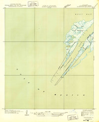
1949 · Burrwood
USGS Topo · 1:31,680

1952 · Southwest Pass
USGS Topo · 1:62,500

1953 · West Delta
USGS Topo · 1:62,500
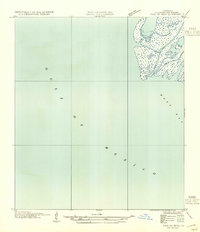
1954 · Pass Du Bois
USGS Topo · 1:31,680
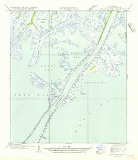
1954 · Southwest Pass
USGS Topo · 1:31,680