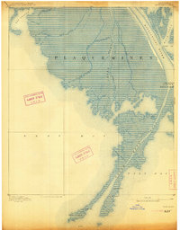
1893 Map of West Delta
USGS Topo · Published 1913About this map
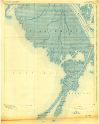
Mississippi River delta sediments define this intricate maritime landscape in Plaquemines Parish during the late nineteenth century. The map documents the critical maritime infrastructure at the Head of Passes, where the mighty river bifurcates into various outlets towards the Gulf of Mexico. Navigation is the primary focus, illustrated by the network of channels including South West Pass, Main Pass, and Grand Pass. The survey records several aid-to-navigation structures vital for river pilots and international shipping, notably the Custom House and Pilot Lookout situated far down the narrow finger of land. In addition to the functional South West Pass Light, the presence of the Old Light Tower suggests a shifting coastline and the evolution of maritime technology in this dynamic alluvial environment. This 1891 survey data captures the delta before extensive twentieth-century modifications changed the hydrology of outlets like Cubit Gap and Scott Canal.
Find a feature on this map
25 named features on this map. Tap any name to fly to it.
Don’t see what you’re looking for? This feature index may not catch every label — zoom into the map to look around manually.
Map Details
Editions of this 1893 West Delta Map
3 editions found
Other maps of this area

1892 · Quarantine
USGS Topo · 1:62,500

1893 · East Delta
USGS Topo · 1:62,500

1893 · Forts
USGS Topo · 1:62,500

1893 · West Delta
USGS Topo · 1:62,500

1935 · South Pass
USGS Topo · 1:31,680

1941 · Empire
USGS Topo · 1:62,500

1944 · Empire
USGS Topo · 1:62,500

1946 · Pass Du Bois
USGS Topo · 1:31,680

1946 · Mudpan Bayou
USGS Topo · 1:31,680

1946 · Pass Tante Phine
USGS Topo · 1:31,680