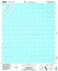
1998 Map of Burrwood Bayou East
USGS Topo · Published 2003About this map
Southwest Pass serves as a critical maritime corridor in this coastal survey, where the Mississippi River meets the Gulf of Mexico. The area is defined by a complex industrial landscape of offshore energy extraction, characterized by extensive holdings in Block 27 and Block 83. These designated sectors within the larger Oil Field are dotted with numerous platforms and an Oil Well, illustrating the intensive petroleum activity occurring off the Louisiana coast at the close of the 20th century.
Find a feature on this map
9 named features on this map. Tap any name to fly to it.
Don’t see what you’re looking for? This feature index may not catch every label — zoom into the map to look around manually.
Map Details
Editions of this 1998 Burrwood Bayou East Map
This is the sole edition of this map. No revisions or reprints were ever made.
Other maps of this area

1893 · East Delta
USGS Topo · 1:62,500

1893 · West Delta
USGS Topo · 1:62,500

1935 · South Pass
USGS Topo · 1:31,680

1946 · Pass Du Bois
USGS Topo · 1:31,680

1946 · Mudpan Bayou
USGS Topo · 1:31,680

1947 · Southwest Pass
USGS Topo · 1:31,680
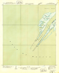
1949 · Burrwood
USGS Topo · 1:31,680

1952 · Southwest Pass
USGS Topo · 1:62,500

1953 · West Delta
USGS Topo · 1:62,500
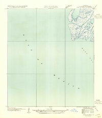
1954 · Pass Du Bois
USGS Topo · 1:31,680