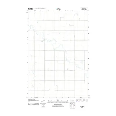
2011 Map of Burt NW
USGS Topo · Published 2011About this map
Thirtymile Creek winds across this section of Hettinger County, defining the drainage patterns of the prairie landscape. The meandering path of the creek is joined in the southern portion of the quadrangle by Spring Creek, illustrating the natural water system that supports the local agricultural geography. The section lines are clearly marked by a grid of rural routes, including the prominent north-south corridor of Burt Rd and the east-west passage of Van Lishout Rd. These thoroughfares emphasize the systematic land division characteristic of North Dakota's rural development in the early 21st century. The map provides a precise view of the terrain before later modern developments, documenting the specific locations of crossings and property boundaries for researchers and landowners.
Find a feature on this map
4 named features on this map. Tap any name to fly to it.
Don’t see what you’re looking for? This feature index may not catch every label — zoom into the map to look around manually.
Map Details
Editions of this 2011 Burt NW Map
This is the sole edition of this map. No revisions or reprints were ever made.
Other maps of this area

1953 · Dickinson
USGS Topo · 1:250,000

1957 · Dickinson
USGS Topo · 1:250,000

1960 · Clark Butte SW
USGS Topo · 1:24,000

1960 · White Butte East
USGS Topo · 1:24,000

1960 · Clark Butte
USGS Topo · 1:24,000

1966 · Mott South
USGS Topo · 1:24,000

1966 · Mott North
USGS Topo · 1:24,000

1969 · Burt
USGS Topo · 1:24,000

1969 · North Star Butte
USGS Topo · 1:24,000

1969 · Bentley
USGS Topo · 1:24,000