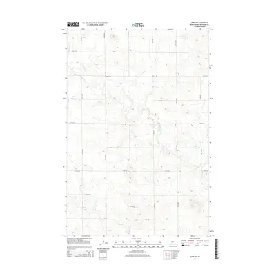
2014 Map of Burt NW
USGS Topo · Published 2014About this map
Thirtymile Cr and Spring Cr define the drainage patterns across this rural landscape in Hettinger County. The 2014 survey reveals a highly organized township-and-range road network that segments the high plains into a precise grid of sections. These gravel and dirt routes, including 88th Ave SW and 64th St SW, provide the primary access to isolated farmsteads and agricultural plots characteristic of this part of North Dakota. The topographic contours highlight the gentle draws and seasonal watercourses that feed into the larger creek systems, illustrating the challenges of water management and transit in an area defined by wide open spaces and significant distances between established settlements.
Find a feature on this map
17 named features on this map. Tap any name to fly to it.
Don’t see what you’re looking for? This feature index may not catch every label — zoom into the map to look around manually.
Map Details
Editions of this 2014 Burt NW Map
This is the sole edition of this map. No revisions or reprints were ever made.
Other maps of this area

1953 · Dickinson
USGS Topo · 1:250,000

1957 · Dickinson
USGS Topo · 1:250,000

1960 · Clark Butte SW
USGS Topo · 1:24,000

1960 · White Butte East
USGS Topo · 1:24,000

1960 · Clark Butte
USGS Topo · 1:24,000

1966 · Mott South
USGS Topo · 1:24,000

1966 · Mott North
USGS Topo · 1:24,000

1969 · Burt
USGS Topo · 1:24,000

1969 · North Star Butte
USGS Topo · 1:24,000

1969 · Bentley
USGS Topo · 1:24,000