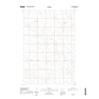
2018 Map of Burt NW
USGS Topo · Published 2018About this map
Thirty-mile Cr winds through the rolling prairie of Hettinger County, defining the drainage patterns of this rural landscape north of Burt. This 2018 survey illustrates the precise section line grid that governs North Dakota agriculture, where unpaved corridors like Burt Rd and 83rd Ave Sw provide the primary access to isolated farmsteads and range lands. The confluence of small drainages and intermittent streams, such as Spring Cr, highlights the importance of water management in this semi-arid environment. Further south, Van Lishout Rd cuts across the township boundaries, serving as a vital link between dispersed agricultural tracts. The map captures the quiet, expansive character of the Great Plains, where the intersection of natural topography and the Public Land Survey System creates a structured, open terrain dominated by grazing and grain production.
Find a feature on this map
9 named features on this map. Tap any name to fly to it.
Don’t see what you’re looking for? This feature index may not catch every label — zoom into the map to look around manually.
Map Details
Editions of this 2018 Burt NW Map
This is the sole edition of this map. No revisions or reprints were ever made.
Other maps of this area

1953 · Dickinson
USGS Topo · 1:250,000

1957 · Dickinson
USGS Topo · 1:250,000

1960 · Clark Butte SW
USGS Topo · 1:24,000

1960 · White Butte East
USGS Topo · 1:24,000

1960 · Clark Butte
USGS Topo · 1:24,000

1966 · Mott South
USGS Topo · 1:24,000

1966 · Mott North
USGS Topo · 1:24,000

1969 · Burt
USGS Topo · 1:24,000

1969 · North Star Butte
USGS Topo · 1:24,000

1969 · Bentley
USGS Topo · 1:24,000