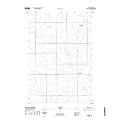
2020 Map of Burt NW
USGS Topo · Published 2020About this map
Thirtymile Cr and Spring Cr define the drainage patterns of this rural landscape in Hettinger County. The area is characterized by a sparse network of section-line roads, including Van Lishout Rd and 83rd Ave SW, which facilitate movement between the vast agricultural holdings. Located at the intersection of several townships, including t135n r92w and t134n r91w, the terrain is marked by gentle undulations typical of the North Dakota plains. The lack of concentrated settlements highlights the expansive nature of modern land management in this region, where Burt Rd serves as a primary north-south artery for local traffic.
Find a feature on this map
9 named features on this map. Tap any name to fly to it.
Don’t see what you’re looking for? This feature index may not catch every label — zoom into the map to look around manually.
Map Details
Editions of this 2020 Burt NW Map
This is the sole edition of this map. No revisions or reprints were ever made.
Other maps of this area

1953 · Dickinson
USGS Topo · 1:250,000

1957 · Dickinson
USGS Topo · 1:250,000

1960 · Clark Butte SW
USGS Topo · 1:24,000

1960 · White Butte East
USGS Topo · 1:24,000

1960 · Clark Butte
USGS Topo · 1:24,000

1966 · Mott South
USGS Topo · 1:24,000

1966 · Mott North
USGS Topo · 1:24,000

1969 · Burt
USGS Topo · 1:24,000

1969 · North Star Butte
USGS Topo · 1:24,000

1969 · Bentley
USGS Topo · 1:24,000