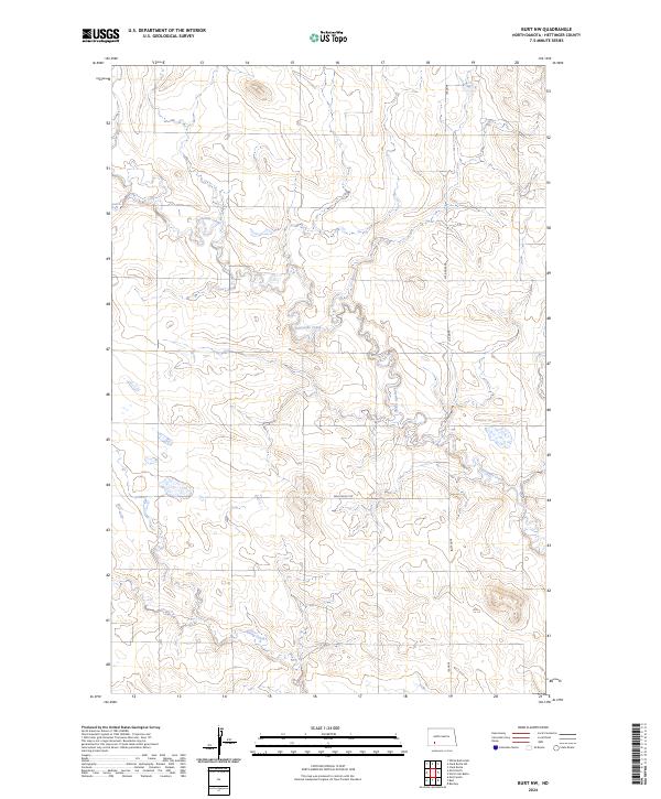
2024 Map of Burt NW
USGS Topo · Published 2024About this map
Thirtymile Creek winds through the northern and central sections of this Hettinger County landscape, carving a drainage pattern through the open terrain. The area is defined by the Public Land Survey System grids of t135n r92w and t135n r91w, showing a sparse but organized rural network typical of the North Dakota plains. Roads like Burt Rd and 83rd Ave SW follow section lines, providing access to remote agricultural plots. To the south, Spring Creek crosses the lower sections of the quadrangle, which is also intersected by Van Lishout Rd. The map illustrates a landscape of intermittent watercourses and section-line roads, reflecting the persistent geometry of Western land division in the early 21st century.
Find a feature on this map
9 named features on this map. Tap any name to fly to it.
Don’t see what you’re looking for? This feature index may not catch every label — zoom into the map to look around manually.
Map Details
Editions of this 2024 Burt NW Map
This is the sole edition of this map. No revisions or reprints were ever made.
Other maps of this area

1953 · Dickinson
USGS Topo · 1:250,000

1957 · Dickinson
USGS Topo · 1:250,000

1960 · Clark Butte SW
USGS Topo · 1:24,000

1960 · White Butte East
USGS Topo · 1:24,000

1960 · Clark Butte
USGS Topo · 1:24,000

1966 · Mott South
USGS Topo · 1:24,000

1966 · Mott North
USGS Topo · 1:24,000

1969 · Burt
USGS Topo · 1:24,000

1969 · North Star Butte
USGS Topo · 1:24,000

1969 · Bentley
USGS Topo · 1:24,000