
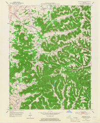
1951 Map of Burtonville
USGS Topo · Published 1953About this map
The North Fork Licking River winds through the borderlands of Fleming and Lewis Counties, anchoring a landscape of tight hollows and high ridges. In the early 1950s, this area was defined by its scattered rural communities and agricultural hubs like Burtonville and Foxport. The prominence of Pea Ridge dictates the local travel patterns, with narrow roads following the high ground or tracing the many branches of Kinniconick Creek. Local life centered on institutions like Pea Ridge Ch and Mt Zion Sch, while industry and leisure appear in the form of Park Lake and Bowman Springs. The map documents a classic Appalachian plateau settlement pattern, where every significant hollow, such as Beechy Hollow or Bogdans Hollow, supported family farms and small-scale timber interests before the modernization of the late 20th century.
Find a feature on this map
52 named features on this map. Tap any name to fly to it.
Don’t see what you’re looking for? This feature index may not catch every label — zoom into the map to look around manually.
Map Details
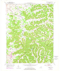
Editions of this 1951 Burtonville Map
3 editions found
Other maps of this area

1919 · Vanceburg
USGS Topo · 1:62,500

1929 · Springdale
USGS Topo · 1:48,000

1935 · Springdale
USGS Topo · 1:62,500

1949 · Vanceburg
USGS Topo · 1:62,500

1949 · Charters
USGS Topo · 1:24,000

1950 · Charters
USGS Topo · 1:24,000

1951 · Cranston
USGS Topo · 1:24,000

1951 · Hillsboro
USGS Topo · 1:24,000

1951 · Stricklett
USGS Topo · 1:24,000

1951 · Plummers Landing
USGS Topo · 1:24,000