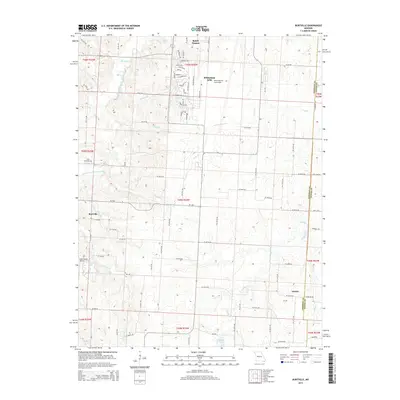
2015 Map of Burtville
USGS Topo · Published 2015About this map
Whiteman Air Force Base dominates the northern landscape of this region, its extensive runway and infrastructure bordering the southern edge of Knob Noster. The terrain here transitions from the organized grid of the military installation into a rural expanse defined by the Clear Fork Blackwater River and numerous small drainages like Plum Br and Coperas Cr. Scattered settlements such as Burtville and Owsley serve as focal points for the surrounding agricultural community, while private aviation is noted at Lake Sexton Airport near Sexton Lake.
Find a feature on this map
74 named features on this map. Tap any name to fly to it.
Don’t see what you’re looking for? This feature index may not catch every label — zoom into the map to look around manually.
Map Details
Editions of this 2015 Burtville Map
This is the sole edition of this map. No revisions or reprints were ever made.
Other maps of this area

1885 · Warrensburg
USGS Topo · 1:125,000

1887 · Sedalia
USGS Topo · 1:125,000

1887 · Warrensburg
USGS Topo · 1:125,000

1894 · Sedalia
USGS Topo · 1:125,000

1894 · Warrensburg
USGS Topo · 1:125,000

1917 · Knobnoster
USGS Topo · 1:62,500

1939 · Sweet Springs
USGS Topo · 1:62,500

1940 · Sweet Springs
USGS Topo · 1:62,500

1941 · Sweet Springs
USGS Topo · 1:62,500

1945 · Sweet Springs
USGS Topo · 1:62,500