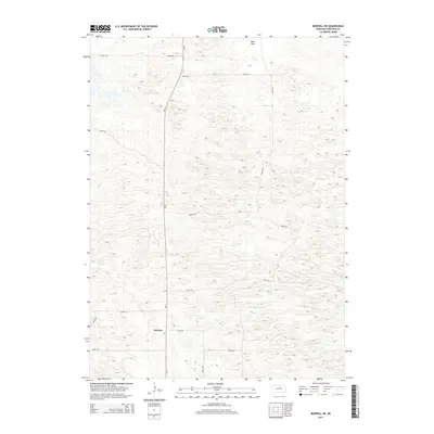
2014 Map of Burwell NE
USGS Topo · Published 2014About this map
Deverre sits at a crossroads in the Sandhills of central Nebraska, positioned where the section lines and the state highway network meet. This 2014 survey captures the rural character of Garfield County, characterized by the undulating terrain of the Beat Flats in the north and a disciplined grid of gravel roads that facilitate local agriculture. The path of Ne-11 serves as the primary artery through this landscape, connecting remote ranchlands and farmsteads. The map details a network of local routes including 840th Rd and 473rd Ave, which define the boundaries of large agricultural parcels. These topographic details illustrate how the physical geography of the flats has dictated the layout of the county's transportation corridors and the placement of the settlement at Deverre.
Find a feature on this map
14 named features on this map. Tap any name to fly to it.
Don’t see what you’re looking for? This feature index may not catch every label — zoom into the map to look around manually.
Map Details
Editions of this 2014 Burwell NE Map
This is the sole edition of this map. No revisions or reprints were ever made.
Other maps of this area

1952 · Burwell
USGS Topo · 1:24,000

1952 · Burwell SE
USGS Topo · 1:24,000

1952 · Burwell NE
USGS Topo · 1:24,000

1952 · Burwell NW
USGS Topo · 1:24,000

1954 · Gables SW
USGS Topo · 1:24,000

1954 · Gables NW
USGS Topo · 1:24,000

1955 · Broken Bow
USGS Topo · 1:250,000

1955 · O'Neill
USGS Topo · 1:250,000

1956 · Broken Bow
USGS Topo · 1:250,000

1959 · O'Neill
USGS Topo · 1:250,000