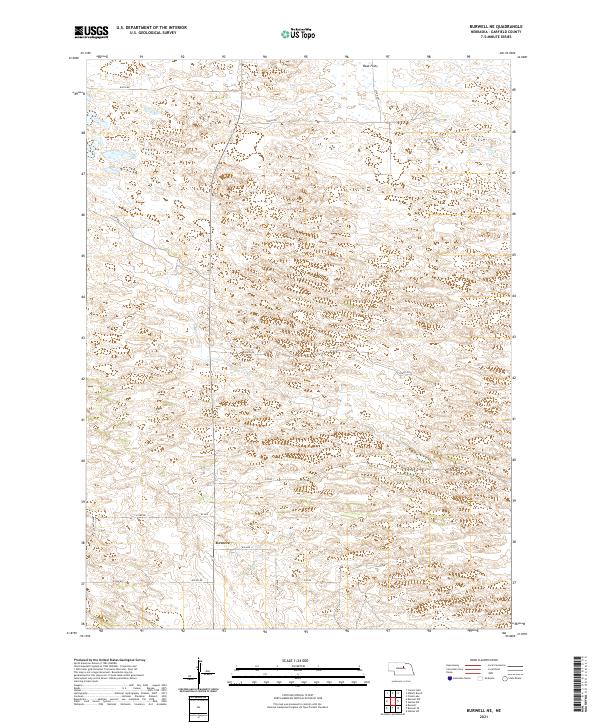
2021 Map of Burwell NE
USGS Topo · Published 2021About this map
Deverre sits in the southwestern portion of this landscape, serving as a primary point of reference in a region defined by an extensive grid of section lines and rural thoroughfares. The terrain transition into Beat Flats in the north reveals the subtle topographic variations characteristic of Garfield County, where the Sandhills geography dictates the layout of the road network. This modern survey illustrates how historically established land boundaries, such as those within t23n r15w and t22n r16w, continue to organize the Nebraska interior. The systematic numbering of roads like 840th Rd and 473rd Ave highlights the structured development of this agricultural and grazing land, providing a clear window into the contemporary spatial arrangement of the Nebraska plains.
Find a feature on this map
20 named features on this map. Tap any name to fly to it.
Don’t see what you’re looking for? This feature index may not catch every label — zoom into the map to look around manually.
Map Details
Editions of this 2021 Burwell NE Map
This is the sole edition of this map. No revisions or reprints were ever made.
Other maps of this area

1952 · Burwell
USGS Topo · 1:24,000

1952 · Burwell SE
USGS Topo · 1:24,000

1952 · Burwell NE
USGS Topo · 1:24,000

1952 · Burwell NW
USGS Topo · 1:24,000

1954 · Gables SW
USGS Topo · 1:24,000

1954 · Gables NW
USGS Topo · 1:24,000

1955 · Broken Bow
USGS Topo · 1:250,000

1955 · O'Neill
USGS Topo · 1:250,000

1956 · Broken Bow
USGS Topo · 1:250,000

1959 · O'Neill
USGS Topo · 1:250,000