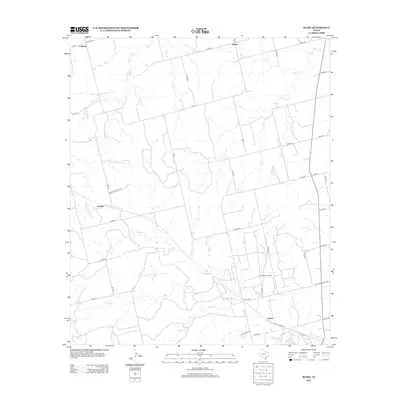
2012 Map of Busby
USGS Topo · Published 2012About this map
Sweetwater Oil Field dominates the southeastern quadrant of this West Texas landscape, illustrating the enduring energy economy of Nolan County. Small ranching hubs and historic railroad-aligned settlements like Orient and Gannon are connected by a network of farm-to-market roads, while Capitola and Busby anchor the northern reaches of the sheet. This map captures a region defined by its intermittent watercourses and ranching history, where the local hydrology is dictated by drainages such as Kildoogan Cr and Rough Cr.
Find a feature on this map
49 named features on this map. Tap any name to fly to it.
Don’t see what you’re looking for? This feature index may not catch every label — zoom into the map to look around manually.
Map Details
Editions of this 2012 Busby Map
This is the sole edition of this map. No revisions or reprints were ever made.
Other maps of this area

1893 · Roby
USGS Topo · 1:125,000

1893 · Sweetwater
USGS Topo · 1:125,000

1954 · Big Spring
USGS Topo · 1:250,000

1958 · Big Spring
USGS Topo · 1:250,000

1969 · Busby
USGS Topo · 1:24,000

1969 · Bull Creek
USGS Topo · 1:24,000

1969 · Bernecker
USGS Topo · 1:24,000

1969 · Roscoe
USGS Topo · 1:24,000
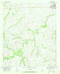
1969 · Roby
USGS Topo · 1:24,000

1969 · Eskota
USGS Topo · 1:24,000