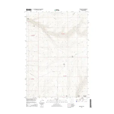
2015 Map of Bush Butte
USGS Topo · Published 2015About this map
Medicine Lodge Big Game Winter Range anchors the southeastern portion of this Big Horn County landscape, where the high desert terrain is carved by a complex network of canyons and seasonal drainages. The area is defined by massive natural landmarks like Bush Butte and the deep incisions of Trapper Canyon and Dry Medicine Lodge Canyon. This 2015 survey illustrates a sparsely populated region primarily managed for wildlife and resource access, with transportation limited to established backcountry routes such as Black Mountain Rd and Red Gulch Rd. Water sources, critical in this arid environment, are identified by named features like Sheep Springs, Myers Spring, and several creeks including White Cr and Trapper Cr. The mapping of Webber Canyon and Myers Spring Draw provides detailed topographic context for a region where natural drainage patterns dictate the movement of both people and wildlife.
Find a feature on this map
24 named features on this map. Tap any name to fly to it.
Don’t see what you’re looking for? This feature index may not catch every label — zoom into the map to look around manually.
Map Details
Editions of this 2015 Bush Butte Map
This is the sole edition of this map. No revisions or reprints were ever made.
Other maps of this area

1895 · Dayton
USGS Topo · 1:125,000

1898 · Bald Mountain
USGS Topo · 1:125,000

1899 · Cloud peak
USGS Topo · 1:125,000

1901 · Cloud Peak
USGS Topo · 1:125,000

1901 · Dayton
USGS Topo · 1:125,000

1901 · Bald Mountain
USGS Topo · 1:125,000

1955 · Sheridan
USGS Topo · 1:250,000

1958 · Sheridan
USGS Topo · 1:250,000

1960 · Shell Falls
USGS Topo · 1:24,000

1960 · White Sulphur Spring
USGS Topo · 1:24,000