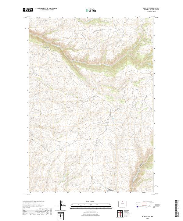
2021 Map of Bush Butte
USGS Topo · Published 2021About this map
Bush Butte stands as a prominent landmark in this section of Big Horn County, overlooking a complex system of drainage and deep cuts. The landscape is defined by its dramatic relief, where Trapper Canyon and Webber Canyon slice through the high plains. Water sources are vital but scattered, evidenced by Sheep Springs and Myers Spring, which likely served as critical points for ranching operations and wildlife in this arid environment. The road network is sparse, consisting of routes like Black Mountain Rd and Red Gulch Rd that follow the natural contours of the land rather than a strict grid. These tracks connect the isolated water sources and canyon floors, reflecting a land use pattern focused on livestock and resource management. The presence of Dry Medicine Lodge Canyon in the southeast suggests a seasonal water system, where flow is ephemeral and dictated by snowmelt or heavy storms.
Find a feature on this map
22 named features on this map. Tap any name to fly to it.
Don’t see what you’re looking for? This feature index may not catch every label — zoom into the map to look around manually.
Map Details
Editions of this 2021 Bush Butte Map
This is the sole edition of this map. No revisions or reprints were ever made.
Other maps of this area

1895 · Dayton
USGS Topo · 1:125,000

1898 · Bald Mountain
USGS Topo · 1:125,000

1899 · Cloud peak
USGS Topo · 1:125,000

1901 · Cloud Peak
USGS Topo · 1:125,000

1901 · Dayton
USGS Topo · 1:125,000

1901 · Bald Mountain
USGS Topo · 1:125,000

1955 · Sheridan
USGS Topo · 1:250,000

1958 · Sheridan
USGS Topo · 1:250,000

1960 · Shell Falls
USGS Topo · 1:24,000

1960 · White Sulphur Spring
USGS Topo · 1:24,000