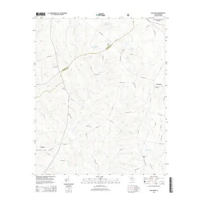
2014 Map of Bush River
USGS Topo · Published 2014About this map
Bush River and the Little River wind through a landscape defined by traditional South Carolina Piedmont agriculture and forestry in the early 21st century. The terrain is a network of ridges and creek bottoms, where small-scale water management is evident in features like Bedenbaugh Pond Number One and Sandhill Farms Pond. Evidence of the area's deep history is preserved in the Bush River Quaker Cem, a site reflecting the early religious settlement of this region. The map also documents the modern intersection of private and public land, with portions of the Sumter National Forest appearing alongside family-named holdings and rural infrastructure like the Sexton Airport and the Silverstreet Lookout Tower. The local road network, including the diagonal path of SC 560, connects scattered rural residences and the community of Mudlick.
Find a feature on this map
60 named features on this map. Tap any name to fly to it.
Don’t see what you’re looking for? This feature index may not catch every label — zoom into the map to look around manually.
Map Details
Editions of this 2014 Bush River Map
This is the sole edition of this map. No revisions or reprints were ever made.
Other maps of this area

1941 · Spartanburg
USGS Topo · 1:250,000

1953 · Spartanburg
USGS Topo · 1:250,000

1960 · Spartanburg
USGS Topo · 1:250,000

1963 · Spartanburg
USGS Topo · 1:250,000

1964 · Spartanburg
USGS Topo · 1:250,000

1969 · Newberry NW
USGS Topo · 1:24,000

1969 · Newberry West
USGS Topo · 1:24,000
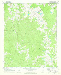
1970 · Bush River
USGS Topo · 1:24,000
1970 · Cross Hill
USGS Topo · 1:24,000
1971 · Joanna
USGS Topo · 1:24,000