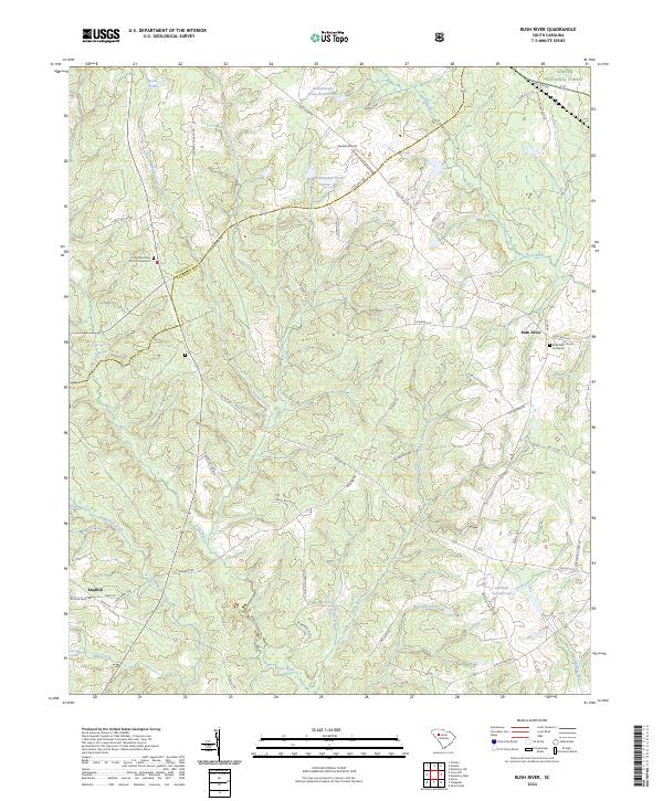
2024 Map of Bush River
USGS Topo · Published 2024About this map
Bush River and its numerous tributaries, including Quaker Creek and Garrison Creek, define this rural South Carolina landscape where Newberry and Laurens counties meet. Modern infrastructure like Sexton Airport sits alongside long-established rural landmarks, notably the Little River Zion Church Graveyard and Bush River Church Graveyard. These sites, along with small settlements like Mudlick, point to the enduring community structure of the region.
Find a feature on this map
55 named features on this map. Tap any name to fly to it.
Don’t see what you’re looking for? This feature index may not catch every label — zoom into the map to look around manually.
Map Details
Editions of this 2024 Bush River Map
This is the sole edition of this map. No revisions or reprints were ever made.
Other maps of this area

1941 · Spartanburg
USGS Topo · 1:250,000

1953 · Spartanburg
USGS Topo · 1:250,000

1960 · Spartanburg
USGS Topo · 1:250,000

1963 · Spartanburg
USGS Topo · 1:250,000

1964 · Spartanburg
USGS Topo · 1:250,000

1969 · Newberry NW
USGS Topo · 1:24,000

1969 · Newberry West
USGS Topo · 1:24,000
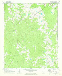
1970 · Bush River
USGS Topo · 1:24,000
1970 · Cross Hill
USGS Topo · 1:24,000
1971 · Joanna
USGS Topo · 1:24,000