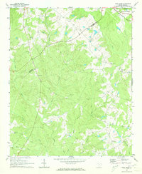
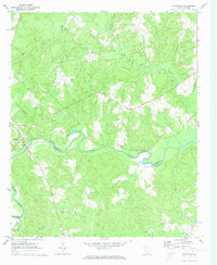
1970 Map of Bush River
USGS Topo · Published 1973About this map
Sumter National Forest defines the northeastern corner of this landscape, where the Bush River winds through the border between Laurens and Newberry Counties. The 1970 field-checked survey reveals a quiet rural Piedmont geography, characterized by a dense network of watercourses and scattered community centers. The small settlement of Mudlick and the Bush River School serve as local landmarks in an area dominated by timber and agricultural drainage.
Find a feature on this map
18 named features on this map. Tap any name to fly to it.
Don’t see what you’re looking for? This feature index may not catch every label — zoom into the map to look around manually.
Map Details
Editions of this 1970 Bush River Map
2 editions found
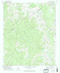
Other maps of this area

1941 · Spartanburg
USGS Topo · 1:250,000

1953 · Spartanburg
USGS Topo · 1:250,000

1960 · Spartanburg
USGS Topo · 1:250,000

1963 · Spartanburg
USGS Topo · 1:250,000

1964 · Spartanburg
USGS Topo · 1:250,000

1969 · Newberry NW
USGS Topo · 1:24,000

1969 · Newberry West
USGS Topo · 1:24,000
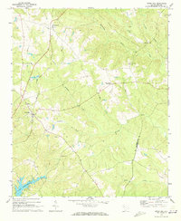
1970 · Cross Hill
USGS Topo · 1:24,000
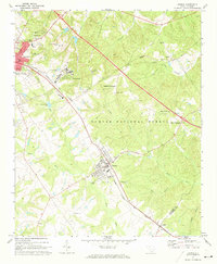
1971 · Joanna
USGS Topo · 1:24,000
1971 · Chappells
USGS Topo · 1:24,000