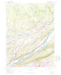
1944 Map of Bushkill
USGS Topo · Published 1980About this map
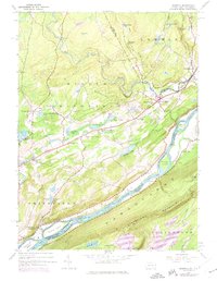
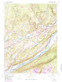
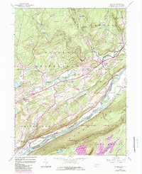
Kittatinny Mountain dominates the southern landscape of this 1944 survey, rising steeply above a stretch of the Delaware River punctuated by Poxono Island, Depew Island, and Depue Island. This riverine corridor was a vital transit point, evidenced by Dimicks Ferry and the presence of the Appalachian Trail following the high ridges. The map captures a transition in the Poconos, where rural agricultural life centered around Middle Smithfield Sch and Wesley Ch met an emerging recreation economy at the Glen Ridge Club and Pocono Highlands Lake.
Find a feature on this map
58 named features on this map. Tap any name to fly to it.
Don’t see what you’re looking for? This feature index may not catch every label — zoom into the map to look around manually.
Map Details
Editions of this 1944 Bushkill Map
7 editions found
Other maps of this area

1888 · Hackettstown
USGS Topo · 1:62,500

1891 · Wallpack
USGS Topo · 1:62,500

1891 · Delaware Water Gap
USGS Topo · 1:62,500

1893 · Delaware Water Gap
USGS Topo · 1:62,500

1893 · Wallpack
USGS Topo · 1:62,500

1894 · Hackettstown
USGS Topo · 1:62,500

1898 · Hackettstown
USGS Topo · 1:62,500

1900 · Raritan
USGS Topo · 1:125,000

1905 · Raritan
USGS Topo · 1:125,000

1905 · Hackettstown
USGS Topo · 1:62,500
Featured Places
- Blairstown, NJ
- Hardwick Township, NJ
- Lehman Township, PA
- Saw Creek, Lehman Township
- Middle Smithfield Township, PA