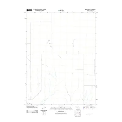
2011 Map of Buske Ranch
USGS Topo · Published 2011About this map
Buske Ranch sits in the high plains of Garden County, serving as a primary landmark in a landscape defined by ranching and water management. The southern portion of this region is characterized by the branching drainage of Coldwater Creek, which flows toward the North Platte River valley. This area demonstrates the critical role of irrigation in the Nebraska panhandle, evidenced by the presence of the Lisco Canal cutting across the southwestern corner of the quadrangle. The terrain transitions from the broader flats near Road 80 to the localized relief of Candy Gulch. A structured grid of section-line roads, including Road 153 and Road 155, provides the primary framework for movement across this sparsely populated ranching territory.
Find a feature on this map
17 named features on this map. Tap any name to fly to it.
Don’t see what you’re looking for? This feature index may not catch every label — zoom into the map to look around manually.
Map Details
Editions of this 2011 Buske Ranch Map
This is the sole edition of this map. No revisions or reprints were ever made.
Other maps of this area

1896 · Browns Creek
USGS Topo · 1:125,000

1899 · Browns Creek
USGS Topo · 1:125,000

1899 · Sidney
USGS Topo · 1:125,000

1900 · Chappell
USGS Topo · 1:125,000

1950 · Crescent Lake
USGS Topo · 1:62,500

1954 · Scottsbluff
USGS Topo · 1:250,000

1958 · Scottsbluff
USGS Topo · 1:250,000

1971 · Richardson Lake
USGS Topo · 1:24,000

1971 · Coumbe Bluff
USGS Topo · 1:24,000

1971 · Tar Valley SW
USGS Topo · 1:24,000