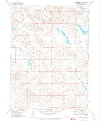
1971 Map of Richardson Lake
USGS Topo · Published 1974This historical map portrays the area of Richardson Lake in 1971, primarily covering Garden County. Featuring a scale of 1:24000, this map provides a highly detailed snapshot of the terrain, roads, buildings, counties, and historical landmarks in the Richardson Lake region at the time. Published in 1974, it is the sole known edition of this map.
Map Details
Editions of this 1971 Richardson Lake Map
This is the sole edition of this map. No revisions or reprints were ever made.
Historical Maps of Garden County Through Time
32 maps found
1949 Mumper
Garden County, NE
1949 Rackett
Garden County, NE
1950 Crescent Lake
Garden County, NE
1950 Longfellow Lake
Garden County, NE
1950 Storm Lake
Garden County, NE
1951 Rackett
Garden County, NE
1971 Barn Butte
Garden County, NE
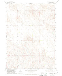
1971 Buske Ranch
Garden County, NE
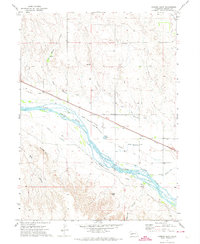
1971 Coumbe Bluff
Garden County, NE
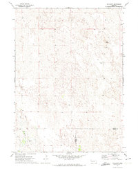
1971 Old Baldy
Garden County, NE
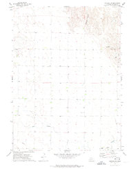
1971 Oshkosh SW
Garden County, NE

1971 Richardson Lake
Garden County, NE
1971 Ruthton
Garden County, NE
1971 Twin Buttes
Garden County, NE
1972 Lisco SE
Garden County, NE
1985 Crescent Lake
Garden County, NE
1986 Bean Lake
Garden County, NE
1986 Beck Lake
Garden County, NE
1986 Black Lake
Garden County, NE
1986 Crescent Lake
Garden County, NE
1986 Crescent Lake SE
Garden County, NE
1986 Deer Lake
Garden County, NE
1986 Gusher Spring
Garden County, NE
1986 Hessey Lake
Garden County, NE
1986 McCarty Lake
Garden County, NE
1986 Mumper
Garden County, NE
1986 Rackett
Garden County, NE
1986 Rackett SE
Garden County, NE
1986 Schoonover Lake
Garden County, NE
1986 Sugar Loaf Hill
Garden County, NE
1986 Well Valley
Garden County, NE
1986 Young Valley
Garden County, NE