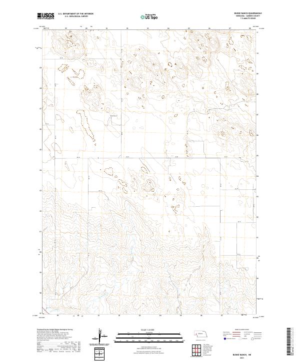
2021 Map of Buske Ranch
USGS Topo · Published 2021About this map
Buske Ranch sits at the heart of this high plains landscape in Garden County, marking a localized pocket of human activity within an expansive grid of section lines and range markers. The southern portion of the area is defined by the winding course of Coldwater Cr, which cuts through the undulating terrain south of Rd 80. This watercourse, along with the Lisco Canal visible in the southwest corner, represents the critical water management systems necessary for cattle ranching and agriculture in this semi-arid region. A network of rural roads, including Rd 151 and Rd 72, provides the primary framework for movement across the township divisions of T19N and T18N, illustrating the sparse but organized settlement pattern of modern western Nebraska.
Find a feature on this map
20 named features on this map. Tap any name to fly to it.
Don’t see what you’re looking for? This feature index may not catch every label — zoom into the map to look around manually.
Map Details
Editions of this 2021 Buske Ranch Map
This is the sole edition of this map. No revisions or reprints were ever made.
Other maps of this area

1896 · Browns Creek
USGS Topo · 1:125,000

1899 · Browns Creek
USGS Topo · 1:125,000

1899 · Sidney
USGS Topo · 1:125,000

1900 · Chappell
USGS Topo · 1:125,000

1950 · Crescent Lake
USGS Topo · 1:62,500

1954 · Scottsbluff
USGS Topo · 1:250,000

1958 · Scottsbluff
USGS Topo · 1:250,000

1971 · Richardson Lake
USGS Topo · 1:24,000

1971 · Coumbe Bluff
USGS Topo · 1:24,000

1971 · Tar Valley SW
USGS Topo · 1:24,000