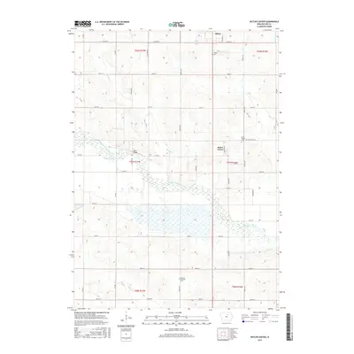
2015 Map of Butler Center
USGS Topo · Published 2015About this map
West Fork Cedar River winds through the heart of this landscape, its wide floodplain and intricate wetlands defining the geography between the settlements of Allison and Butler Center. The map documents a predominantly agrarian region in Butler County, structured by a rigorous grid of section lines and gravel roads such as Butler Center Rd and Co Rd S1. This 2015 survey provides essential details for genealogists and local historians, pinpointing several historic burial grounds including the Butler Center Cem and Monroe Township Cem. The presence of Mead Bridge crossing the river and numerous named tributaries like Kilson Cr and Johnson Cr illustrates the intersection of mid-century infrastructure and the natural hydrological network of the Cedar River basin.
Find a feature on this map
41 named features on this map. Tap any name to fly to it.
Don’t see what you’re looking for? This feature index may not catch every label — zoom into the map to look around manually.
Map Details
Editions of this 2015 Butler Center Map
This is the sole edition of this map. No revisions or reprints were ever made.
Other maps of this area

1954 · Waterloo
USGS Topo · 1:250,000

1955 · Waterloo
USGS Topo · 1:250,000

1971 · Coster
USGS Topo · 1:24,000

1971 · Clarksville
USGS Topo · 1:24,000

1971 · Stout
USGS Topo · 1:24,000

1972 · Dumont North
USGS Topo · 1:24,000

1972 · Allison
USGS Topo · 1:24,000

1979 · Dumont South
USGS Topo · 1:24,000

1979 · Butler Center
USGS Topo · 1:24,000

1980 · Aplington
USGS Topo · 1:24,000