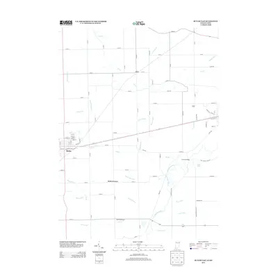
2013 Map of Butler East
USGS Topo · Published 2013About this map
The town of Butler serves as the western anchor of this landscape, where the confluence of regional roads and railroads meets an intricate network of agricultural drainage. As of 2013, the surrounding terrain is defined by its water management, featuring a dense system of man-made waterways like Mary Metcalf Ditch, Ayford Ditch, and Peter Grube Ditch that feed into the larger Saint Joseph River and its tributaries. These ditches represent generations of land improvement necessary for the productivity of sites like Goebel Farms. Small historical hubs and rural junctions such as Artic and Stafford Center remain marked, alongside more modern landmarks like the Kline Field Airport. The map also captures the path of Big Run as it winds toward the Clarksville Bridge, illustrating the persistent relationship between the area's natural drainage and its infrastructure.
Find a feature on this map
93 named features on this map. Tap any name to fly to it.
Don’t see what you’re looking for? This feature index may not catch every label — zoom into the map to look around manually.
Map Details
Editions of this 2013 Butler East Map
This is the sole edition of this map. No revisions or reprints were ever made.
Other maps of this area

1914 · Pioneer
USGS Topo · 1:62,500

1914 · Bryan
USGS Topo · 1:62,500

1939 · Hamilton
USGS Topo · 1:24,000

1940 · Metz
USGS Topo · 1:24,000

1943 · Bryan
USGS Topo · 1:62,500

1944 · Pioneer
USGS Topo · 1:62,500

1948 · Hamilton
USGS Topo · 1:24,000

1953 · Fort Wayne
USGS Topo · 1:250,000

1956 · Fort Wayne
USGS Topo · 1:250,000

1958 · Hicksville
USGS Topo · 1:24,000