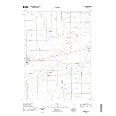
2019 Map of Butler East
USGS Topo · Published 2019About this map
Butler anchors the western edge of this landscape where the Indiana and Ohio state lines meet, serving as a hub for the surrounding agricultural plains. The terrain is defined by a dense network of drainage engineering, including the Auford Ditch, Streeter Ditch, and Mary Metcalf Ditch, which channel water toward the Saint Joseph River in the southeast. This intricate system of ditches reflects the intensive land management required for the region's farming economy. Small, scattered settlements like Artic and Stafford Center provide local points of interest for those tracing family roots in the northeast corner of DeKalb County.
Find a feature on this map
97 named features on this map. Tap any name to fly to it.
Don’t see what you’re looking for? This feature index may not catch every label — zoom into the map to look around manually.
Map Details
Editions of this 2019 Butler East Map
This is the sole edition of this map. No revisions or reprints were ever made.
Other maps of this area

1914 · Pioneer
USGS Topo · 1:62,500

1914 · Bryan
USGS Topo · 1:62,500

1939 · Hamilton
USGS Topo · 1:24,000

1940 · Metz
USGS Topo · 1:24,000

1943 · Bryan
USGS Topo · 1:62,500

1944 · Pioneer
USGS Topo · 1:62,500

1948 · Hamilton
USGS Topo · 1:24,000

1953 · Fort Wayne
USGS Topo · 1:250,000

1956 · Fort Wayne
USGS Topo · 1:250,000

1958 · Hicksville
USGS Topo · 1:24,000